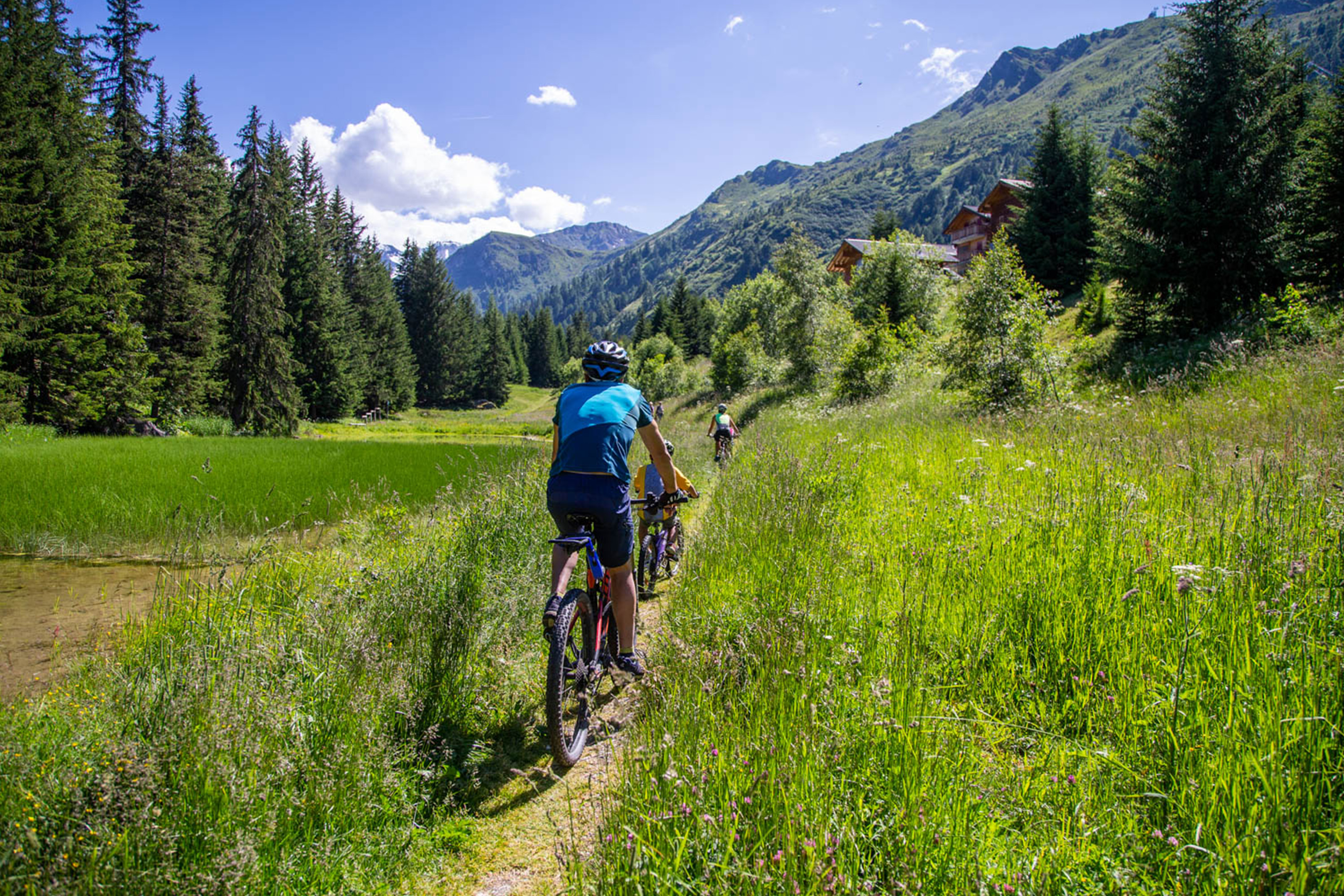
30.95 km 5:00 h Intermediate
Nendaz-Barrage de Cleuson Bike
Nendaz


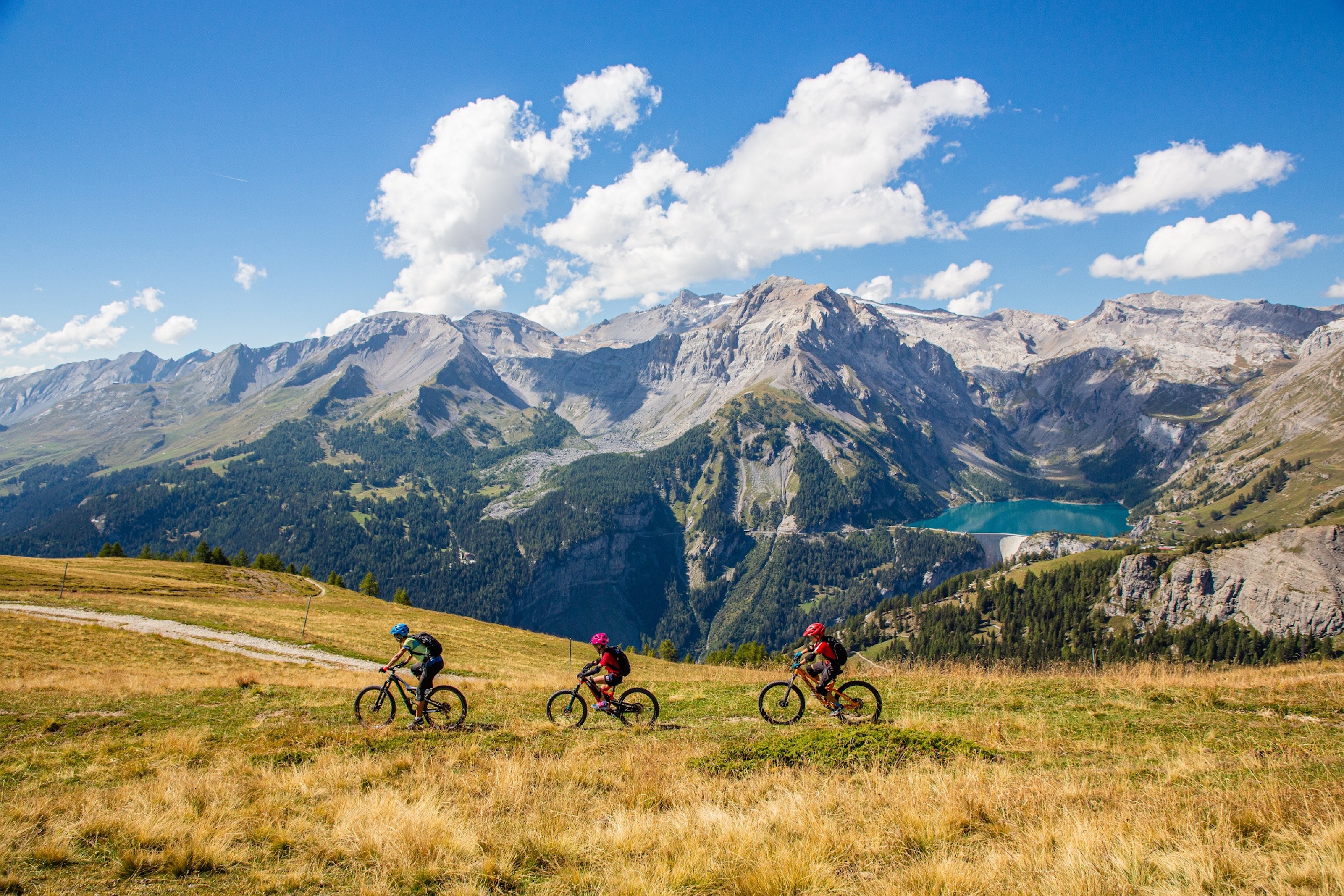
Well-marked biking routes, dramatic climbs to mountain passes and spectacular alpine trails promise endless thrills for mountain bike enthusiasts. From the mountaintops to the valley floors, the diversity of trails ensures that all riders – leisure bikers, competitors, tourers and downhill enthusiasts alike – find their ideal terrain. Thanks to the extensive public transport network and more than 100 cableways, mountain bikers have an infinite choice of possibilities for planning their itineraries. From 30 August to 14 September 2025, Valais will become the world capital of mountain biking when it hosts the UCI Mountain Bike World Championships, with all the disciplines taking place in one of the canton's destinations.
1 - 30 | 88 results
Nendaz-Barrage de Cleuson Bike
Nendaz
CM 1988 Bike
Crans-Montana

Saas-Balen - Stalden Bike
Saas-Balen

Dala Kultur Bike
Leukerbad

Champex Bike
Champex-Lac

Lunggi Trail
Eischoll

Tour to Isérables
Isérables

Beizu Tour Leukerbad
Leukerbad

Tour du Mont-Blanc Bike: Champex - Grand Col Ferret
Champex-Lac

Thyon All-Mountain
Gemmi Gspass
Leukerbad

Mattmark Bike
Saas-Almagell

Dala Bärgüf (Uphill)
Leuk-Susten

Cry d'Er Bike
Crans-Montana
Stoneman Glaciara
Ernen

Valais Alpine Bike 6. Blatten (Lötschen) - St-Luc
Blatten Belalp

Valais Alpine Bike 3. Unterbäch-Grächen
Unterbäch

Col des Planches Bike
Martigny
Matterhorn Valley Trail Bike Tour (Nr. 20)
Zermatt

Larschi Rundi
Albinen

Torrent Loop
Leukerbad

Trient Valley Tour
Trient

Moosalp Plateau Bike
Bürchen

Kalpetran Enduro
Törbel

Guggerhubel Bike
Leukerbad

Mountain bike tour VTT Thyon-Veysonnaz
Thyon
Chällerflüe Bike
Leukerbad

Valais Alpine Bike 5. Brig - Blatten (Lötschen)
Brig

Furwald Singletrail
Saas-Grund

Bietschhorn Bike
Lötschental
