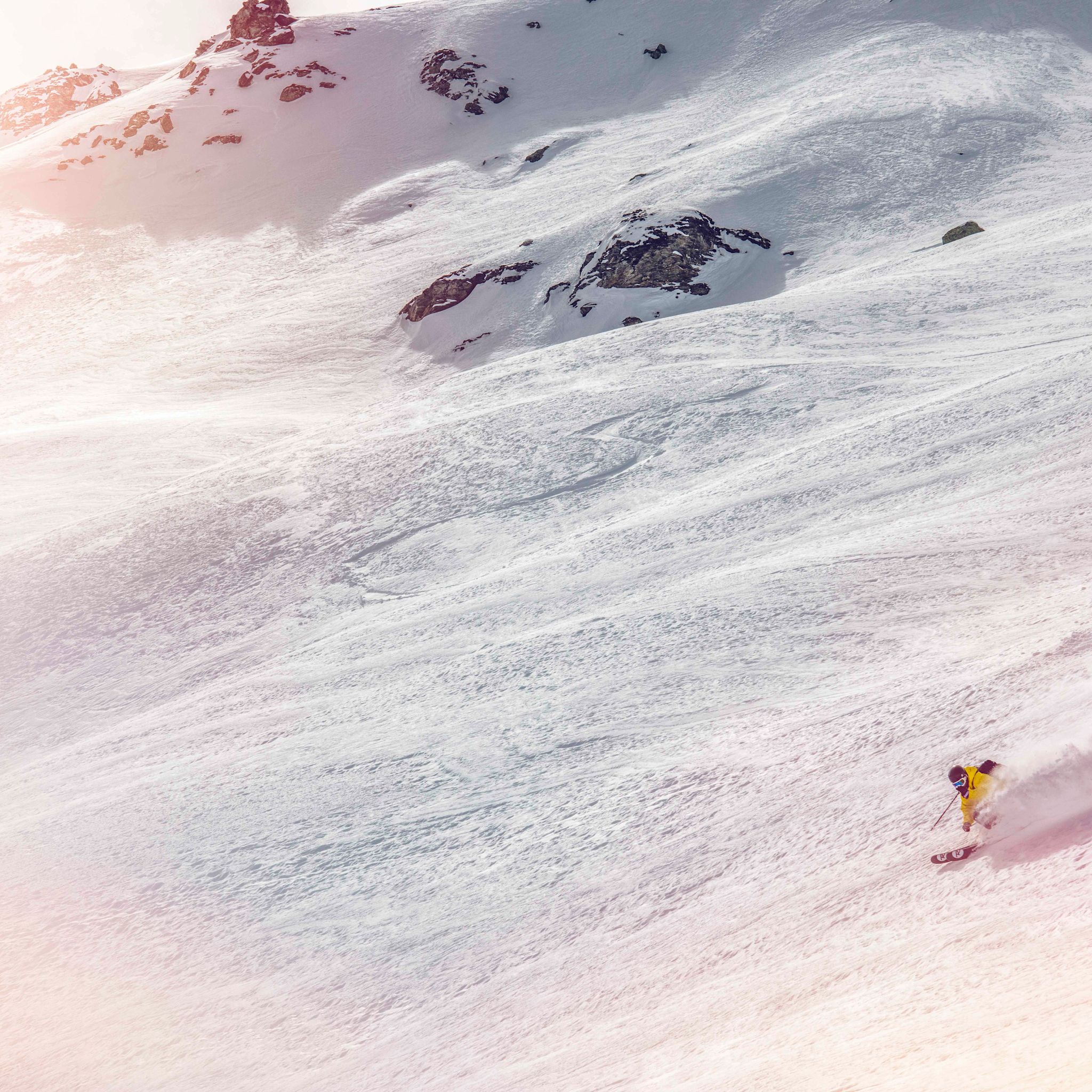
Activities in Grimentz
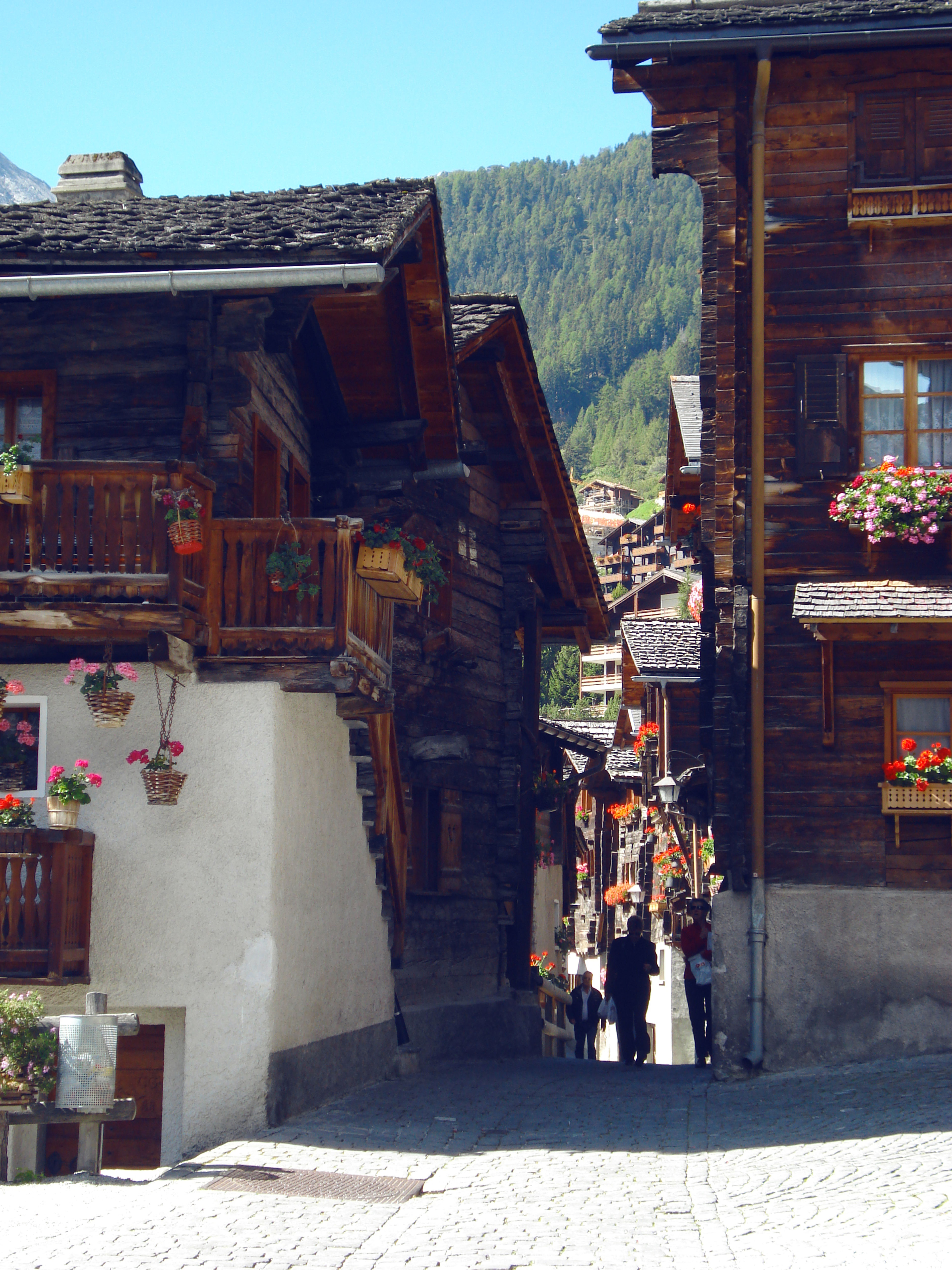
Looking for inspiration for your next trip to Valais? Grimentz offers a wide range of activities in the region, in both summer and winter. There's something for everyone. The hardest part will be choosing.
1 - 21 | 21 results
Tour of the Val d’Anniviers: Grimentz – Vercorin (stage 4)
Grimentz

Rye bread baking in the Val d'Anniviers
Grimentz
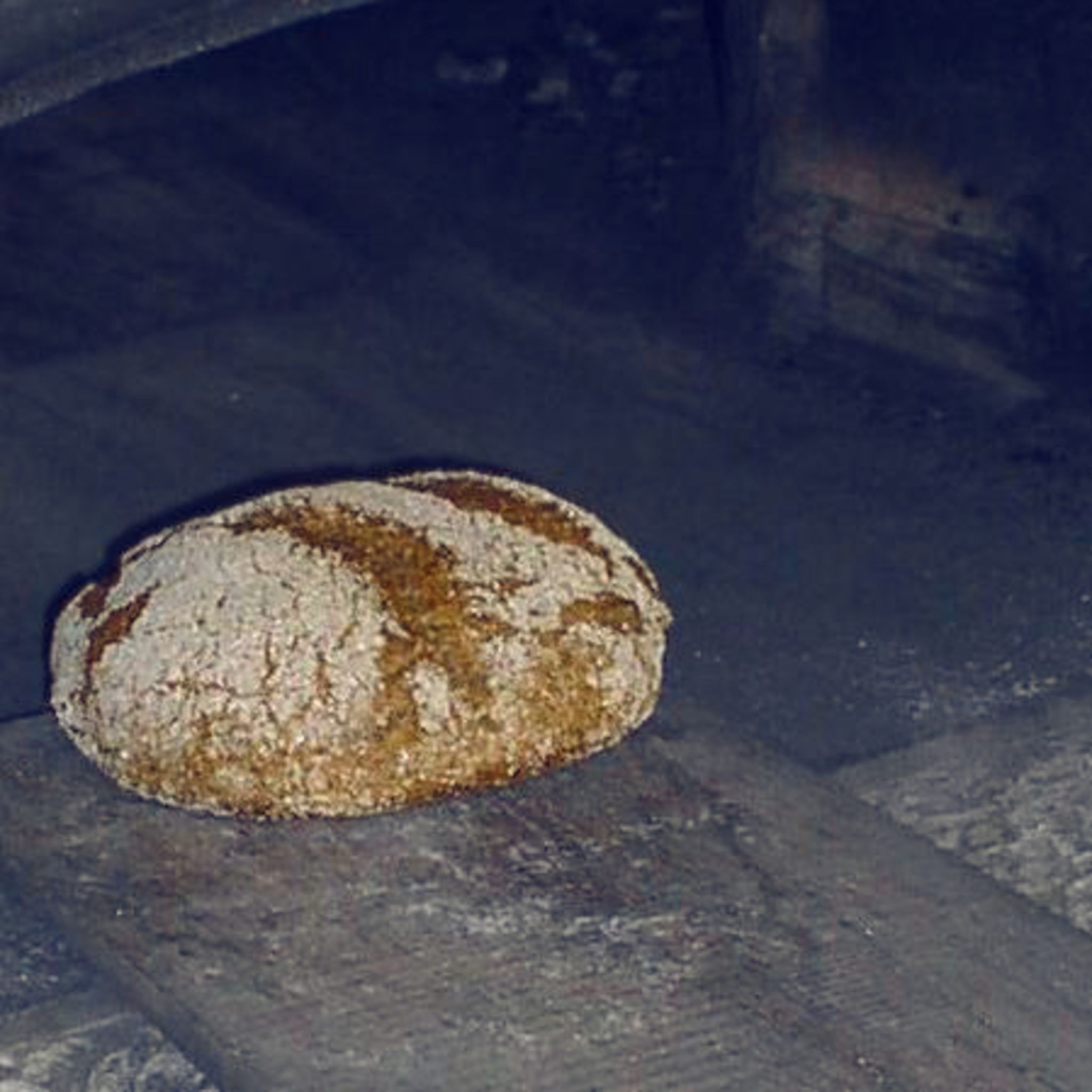
Pumptrack Grimentz
Grimentz
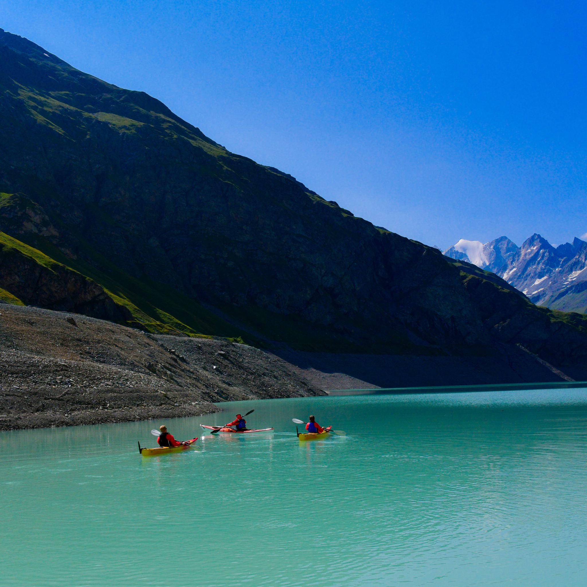
Sea kayaking at Moiry lake
Grimentz
Moiry via ferrata
Grimentz

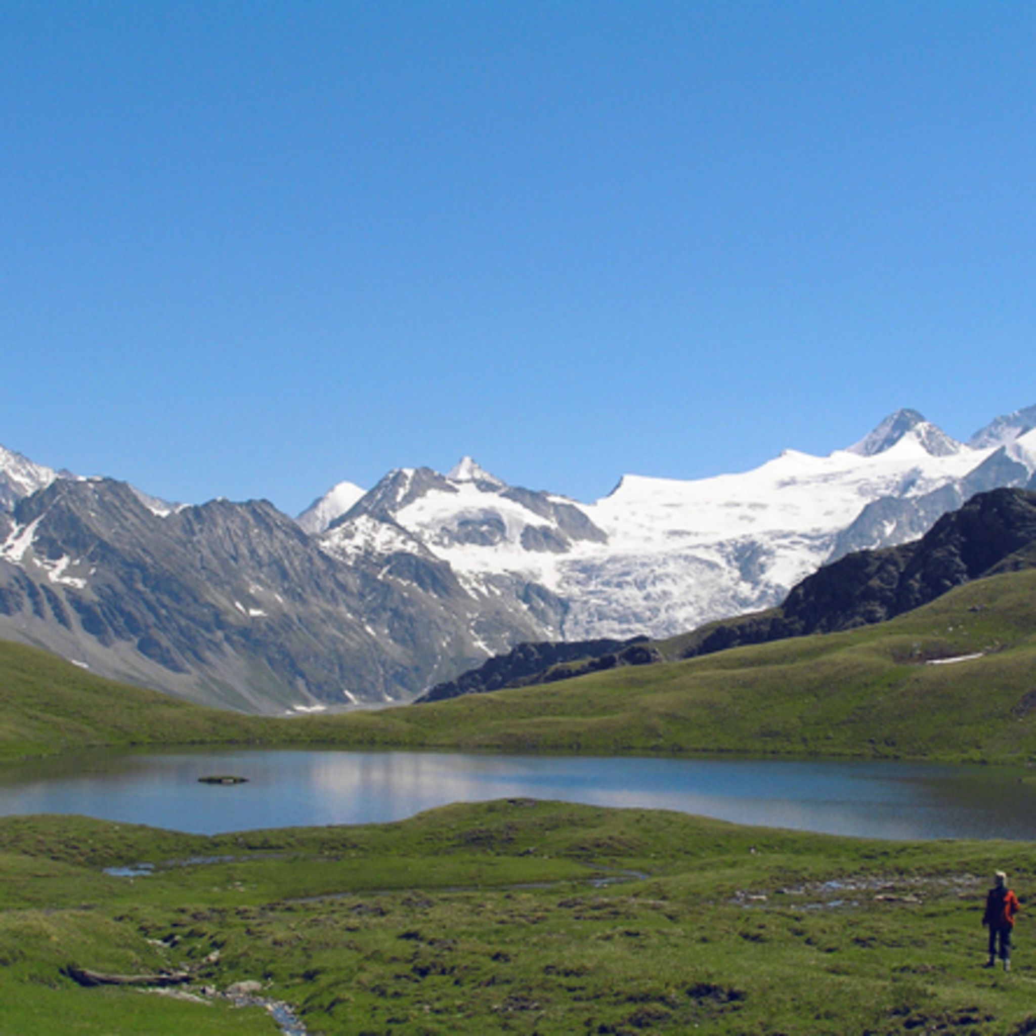
Lac des Autannes
Grimentz
Moiry
Grimentz
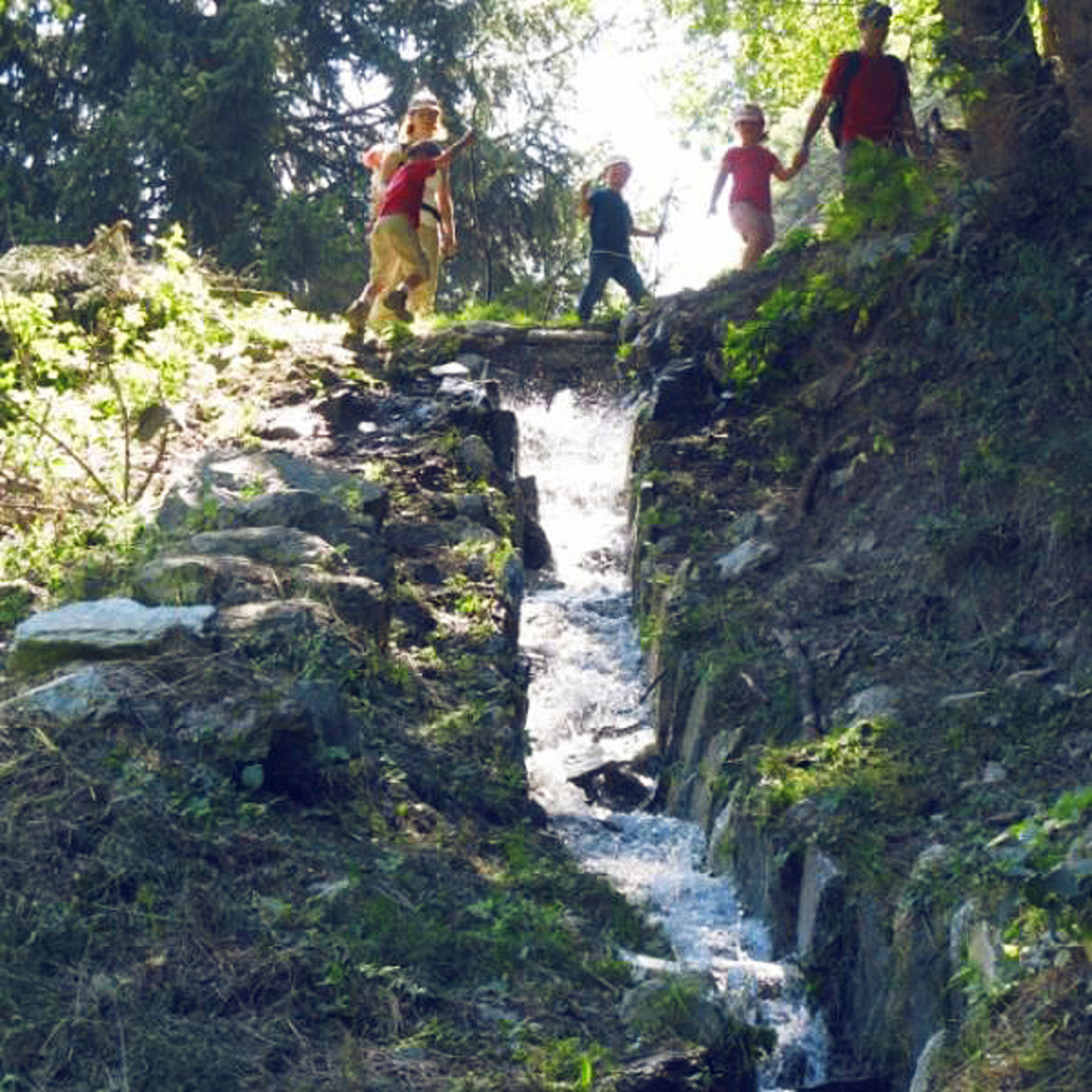
Grand bisse de St-Jean
Grimentz
Becs-de-Bosson
Grimentz
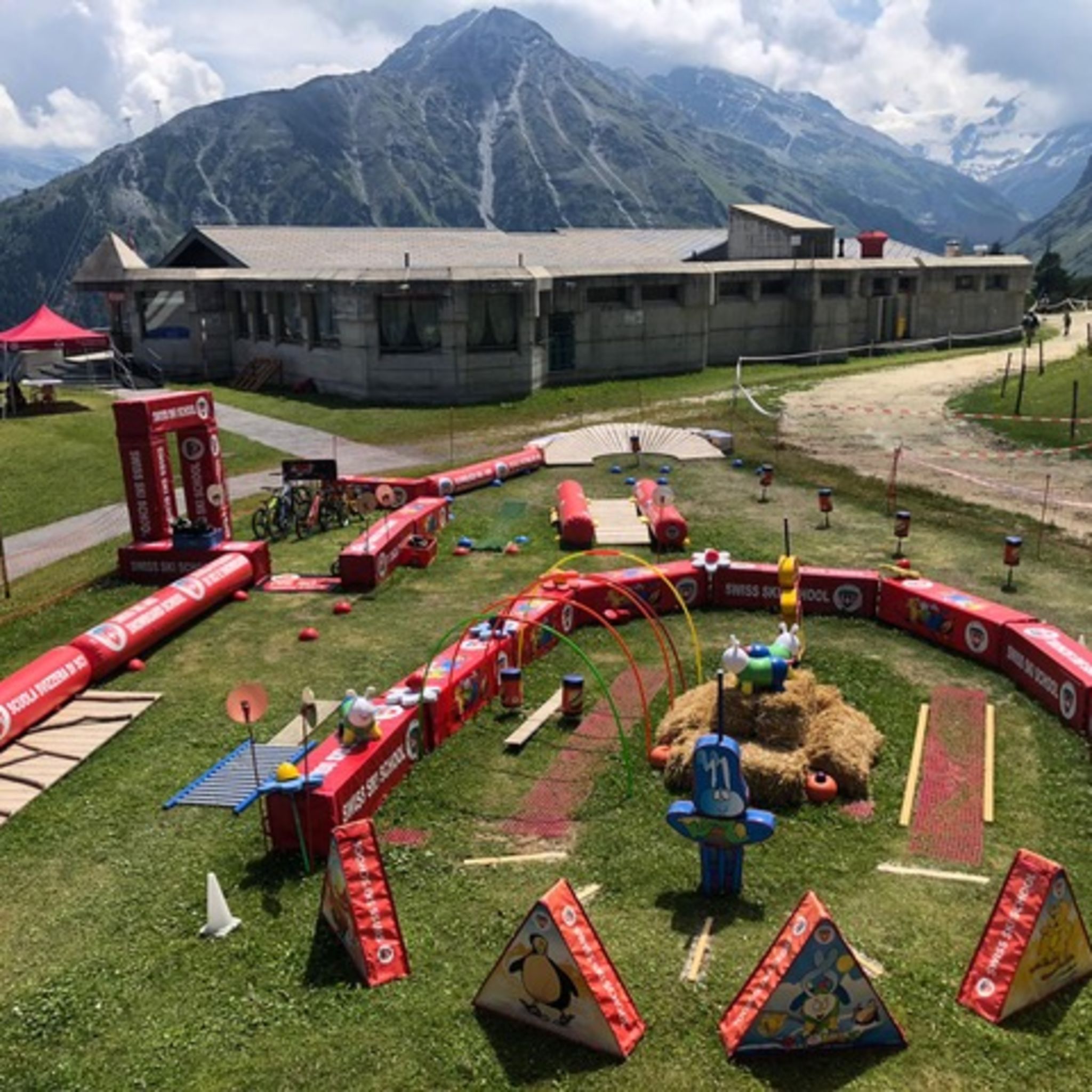
Skills park Grimentz - Kids Bike League
Grimentz
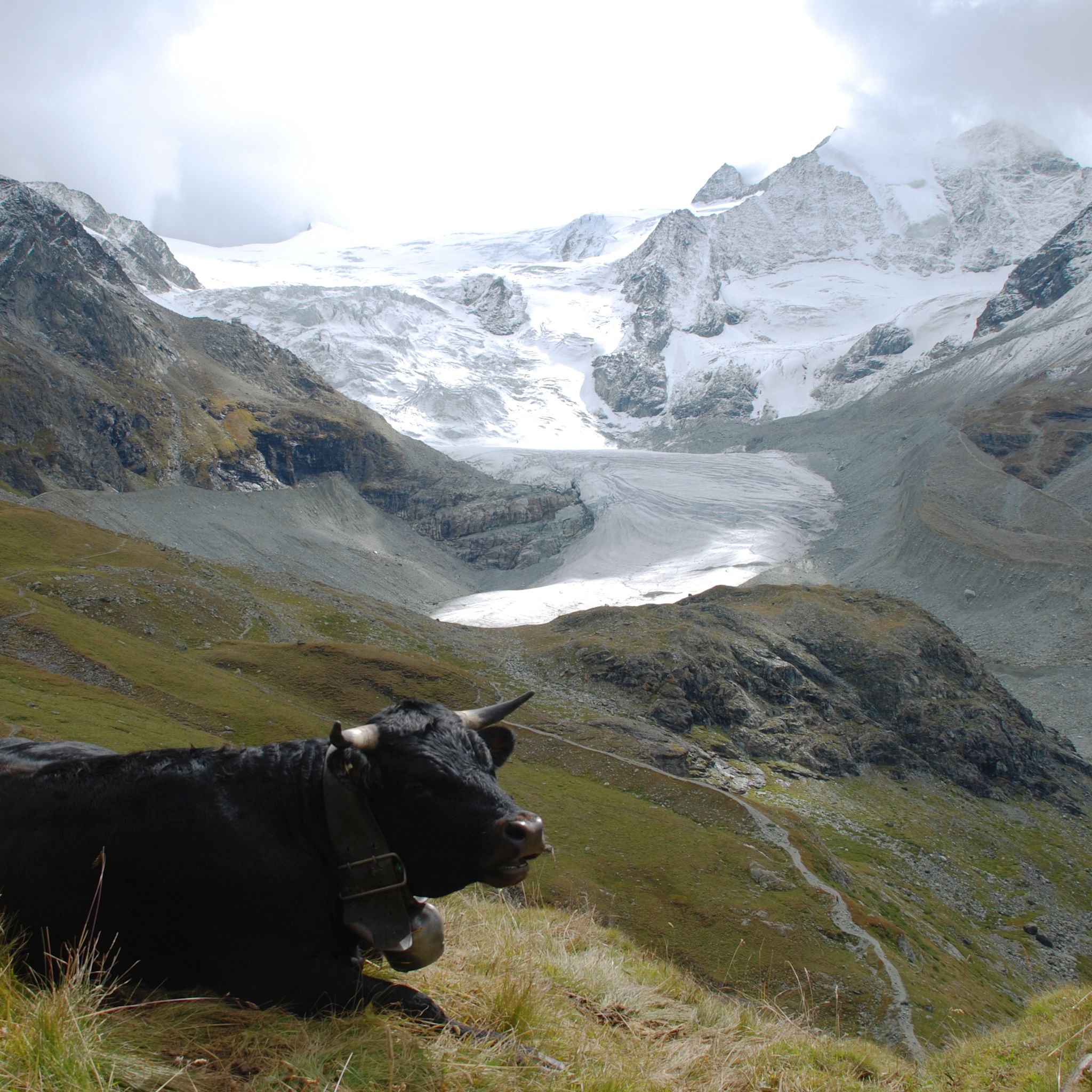
Moiry Glacier
Grimentz
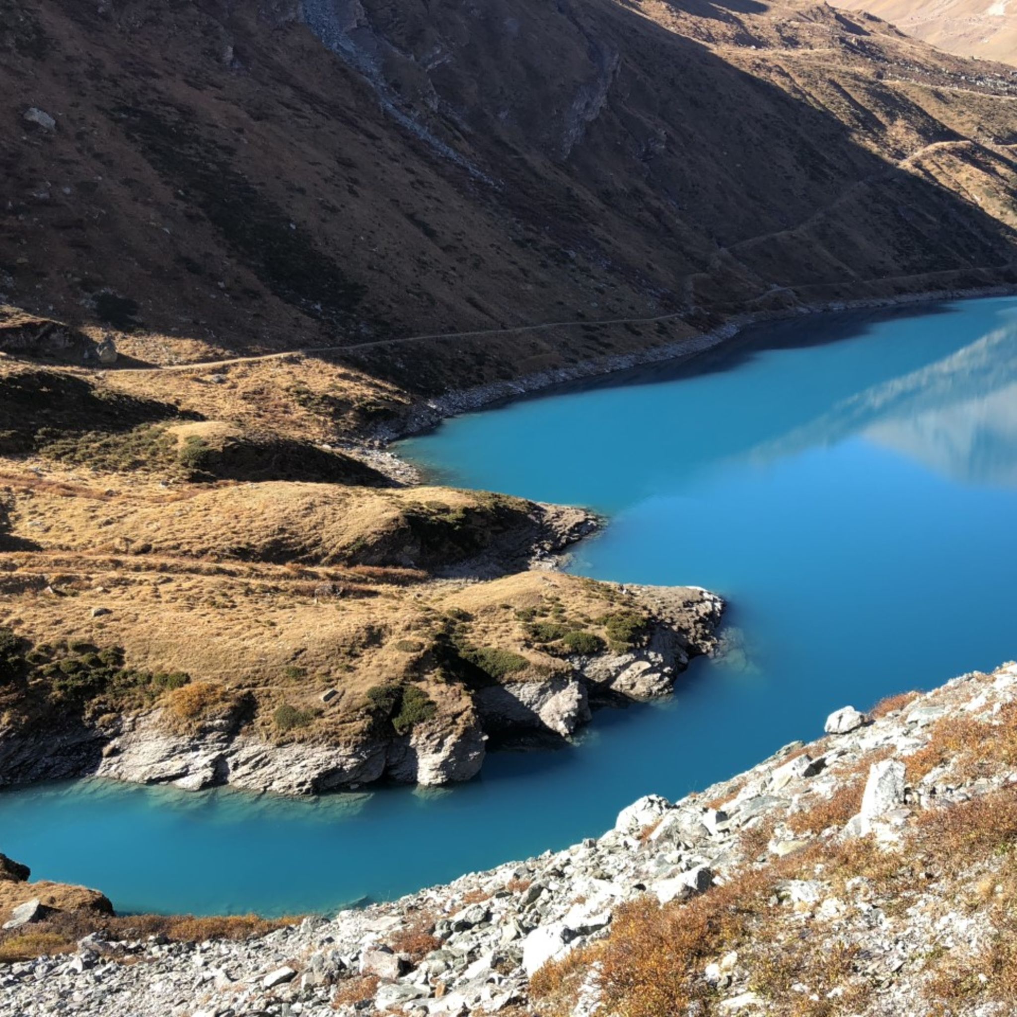
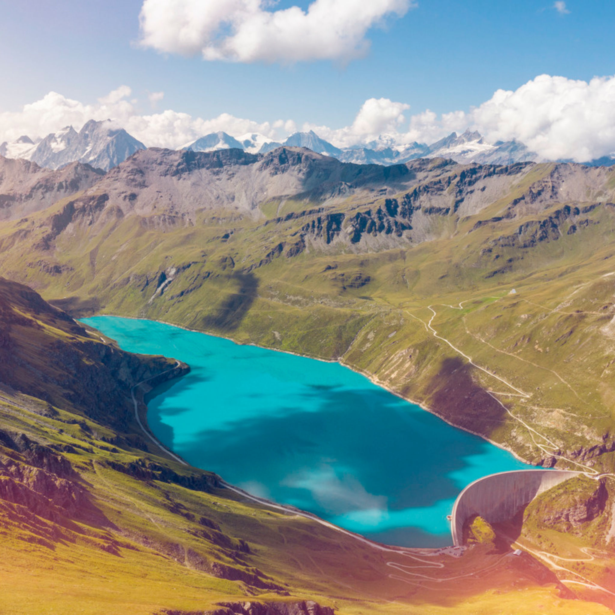
Lac de Moiry
Grimentz
Tour du Lac de Moiry
Grimentz

La Gougra
Grimentz

Grimentz : Montagnetta Path n°1
Grimentz

Roc d’Orzival - Abondance
Grimentz

Toboggan run Grimentz
Grimentz
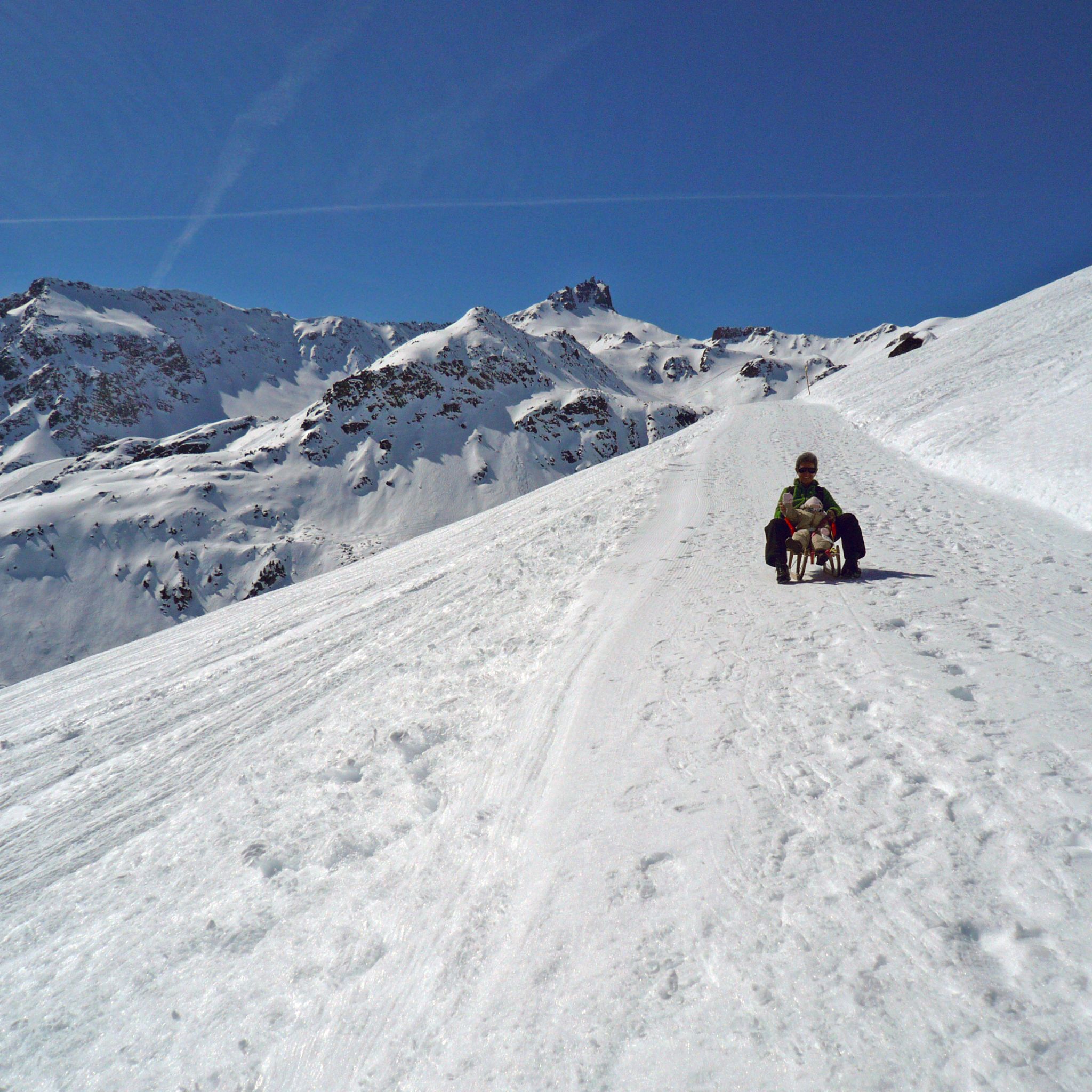
Grands Plans Path - Grimentz
Grimentz

Anniviers Touring Tracks
Grimentz
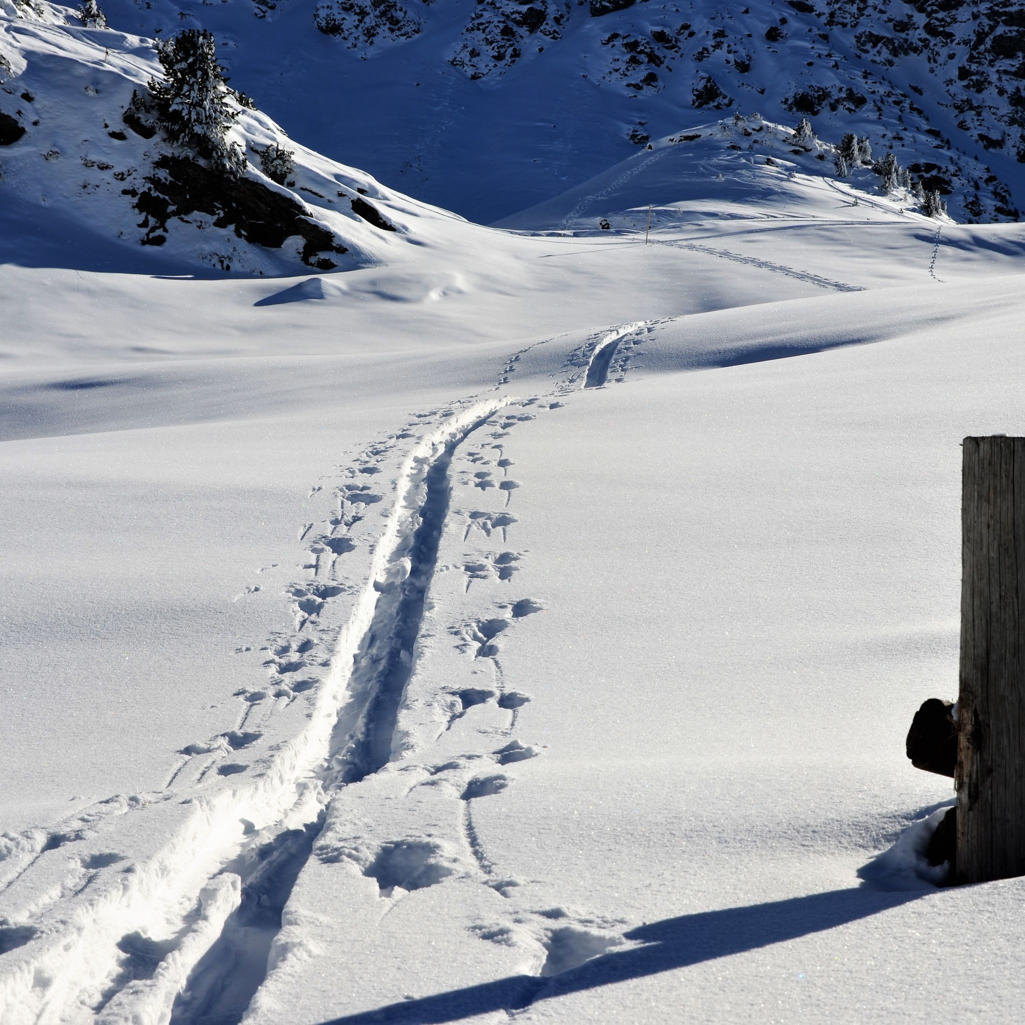
Grimentz
Grimentz
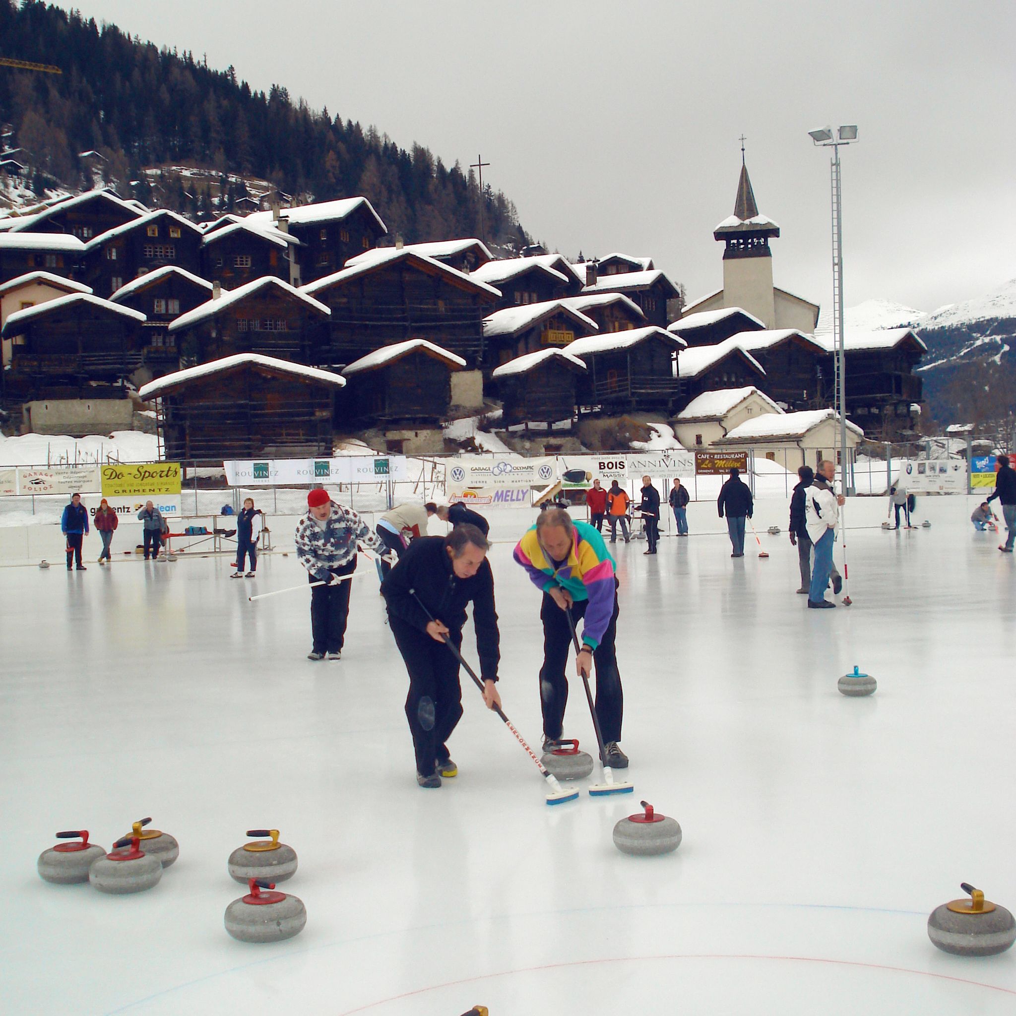
Grimentz/Zinal - Area Grimentz
Grimentz
