Explore
Highlights
Plan and book your experiences here
Find the perfect activity
Singletrail paradies
Taste
Recipes
Local products shops
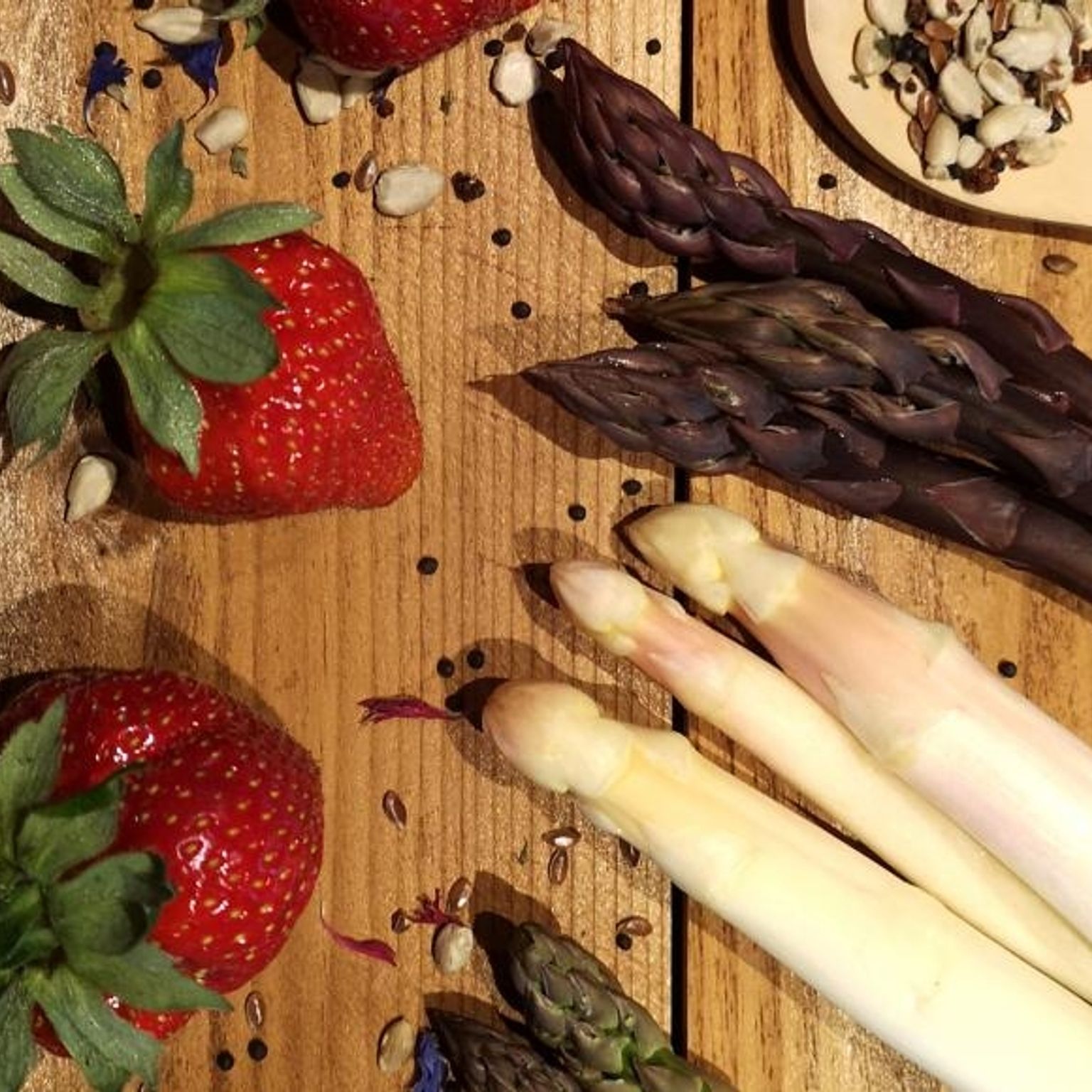
Asparagus
Living and working
10 reasons to settle in Valais
Testimonies
Club des entreprises
Valais Brand
The three pillars of the Valais brand
Authorized producers
Comitted companies
Quick access
Thermal baths - Leukerbad Therme
Cable car ride to the Eggishorn | Aletsch Arena
Aletsch Arena
Valais Alpine Bike - Option Crans-Montana - Brig
Crans-Montana region
Boutique Valais
Les Celliers de Sion - First steps in the wine world
Sion region
Local stars
Monte Rosa
Zermatt
Events
The Saillon Asparagus Festival
04.05.2024
Saillon
2025 UCI Mountain Bike World Championships2025 UCI Mountain Bike World Championships
The ideal stay for mountain bike enthusiasts
The finest panoramic excursions in Valais
The Valais for families
Thermal baths
Hotels and Apartments
Family activities
Leukerbad Therme
Leukerbad
Bhutanbrücke
Turtmann-Unterems
Titans at the Grande-Dixence dam
Hérémence
Grand Bisse de Lens
Crans-Montana
Bisse de Clavau
Anzère
Trusera
Ernen
Bisse du Ro
The perfect weekend for gourmets
15 must-see sights in Valais
The traditional apricot tart in Valais fashion
Green Asparagus and PGI dry-cured Valais
Find an activity
Recipes form Wallis
Work in Valais