Mountain bike tours

Mountain bike tours

Tracouet roundtrip

Leave for the discovery of the centuries-old larches of Balavaux, and enjoy the grandiose panoramas thanks to this circuit linking Haute-Nendaz to Tracouet.

  • Difficulty

    medium, S0

    Difficulty : medium
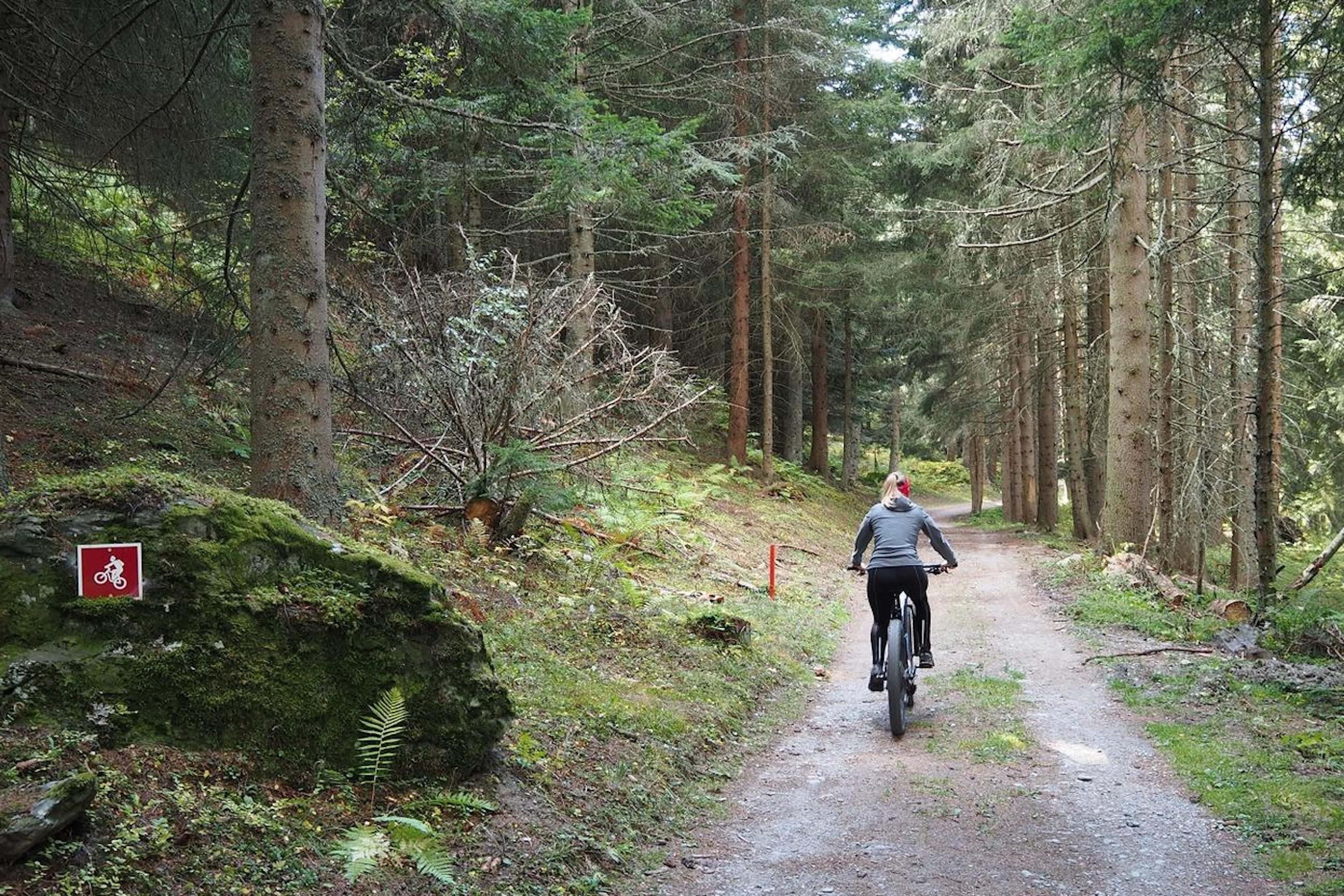
    S0 Even forest or meadow paths, on a natural surface with good grip or on compact gravel. No steps, rocks or passages with many roots. Gentle gradients, wide curves. No special technique required
  • Length

    24.3 km

  • Duration

    4:00 h

  • Show on map

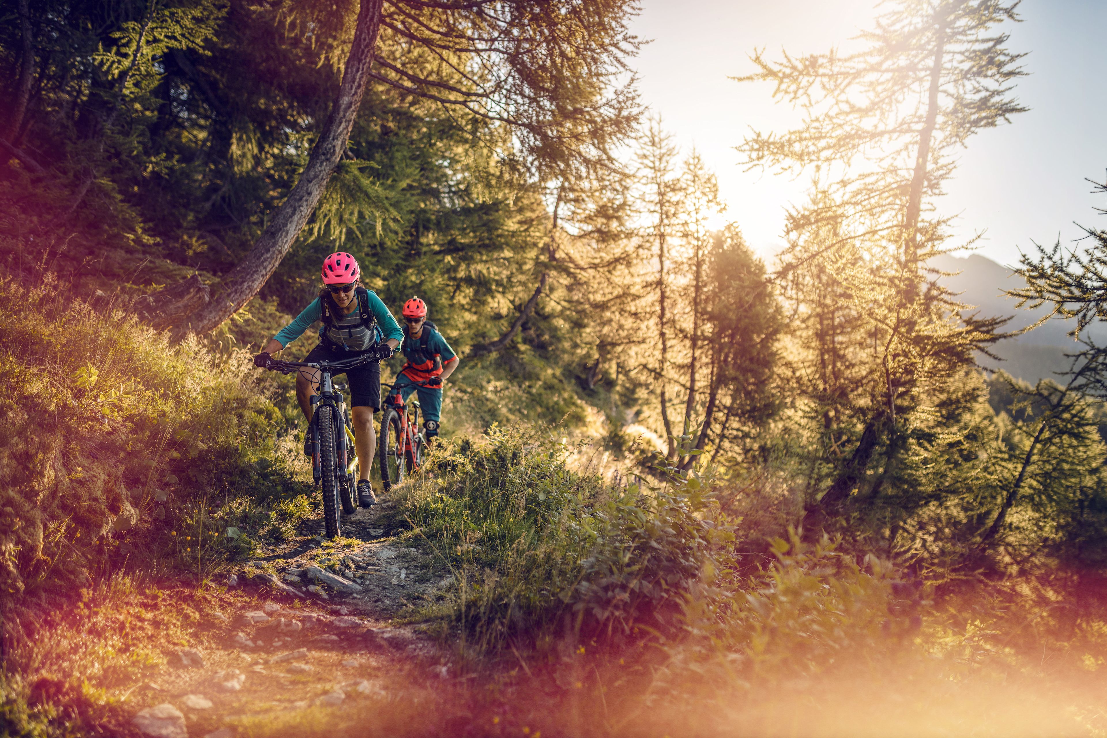
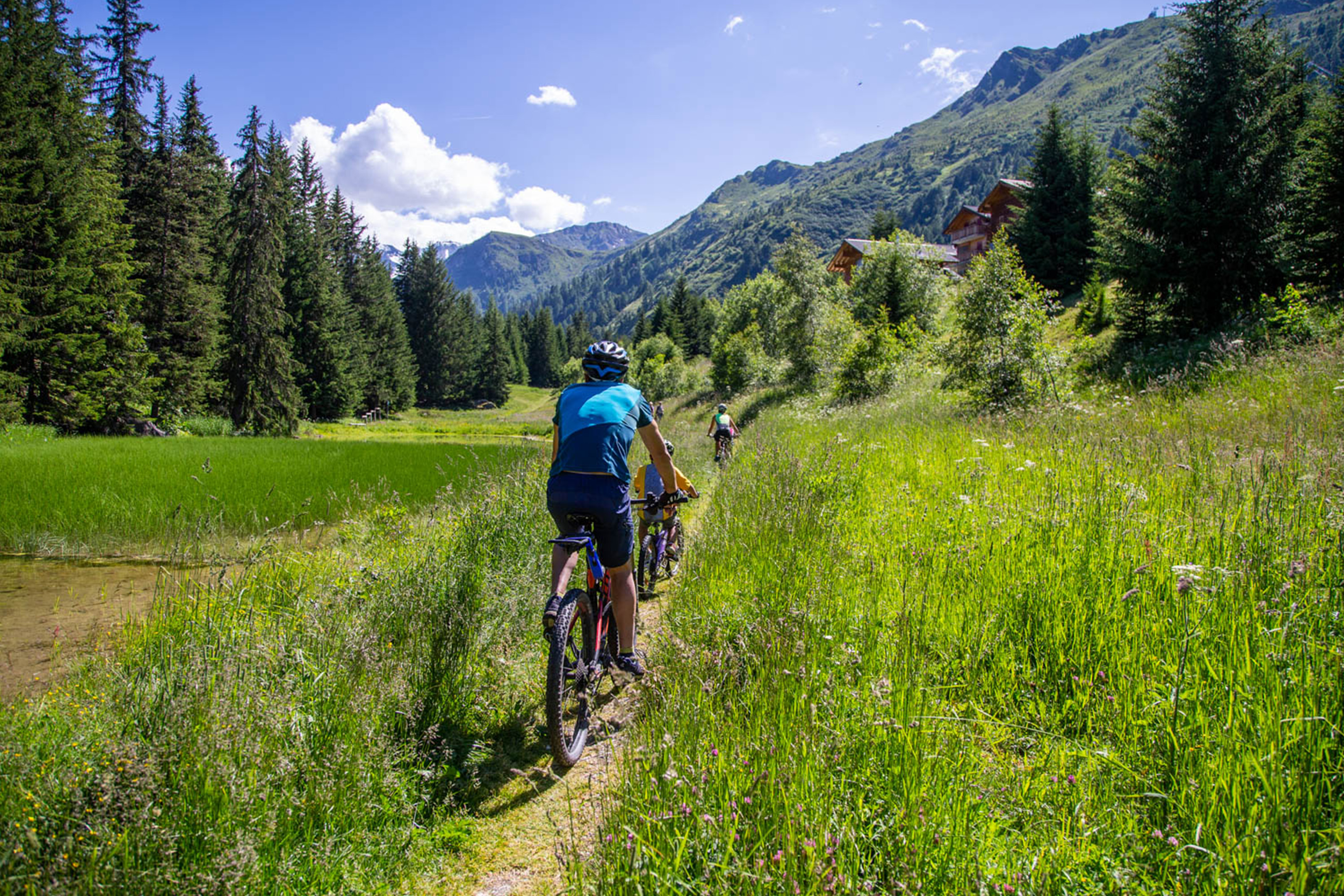
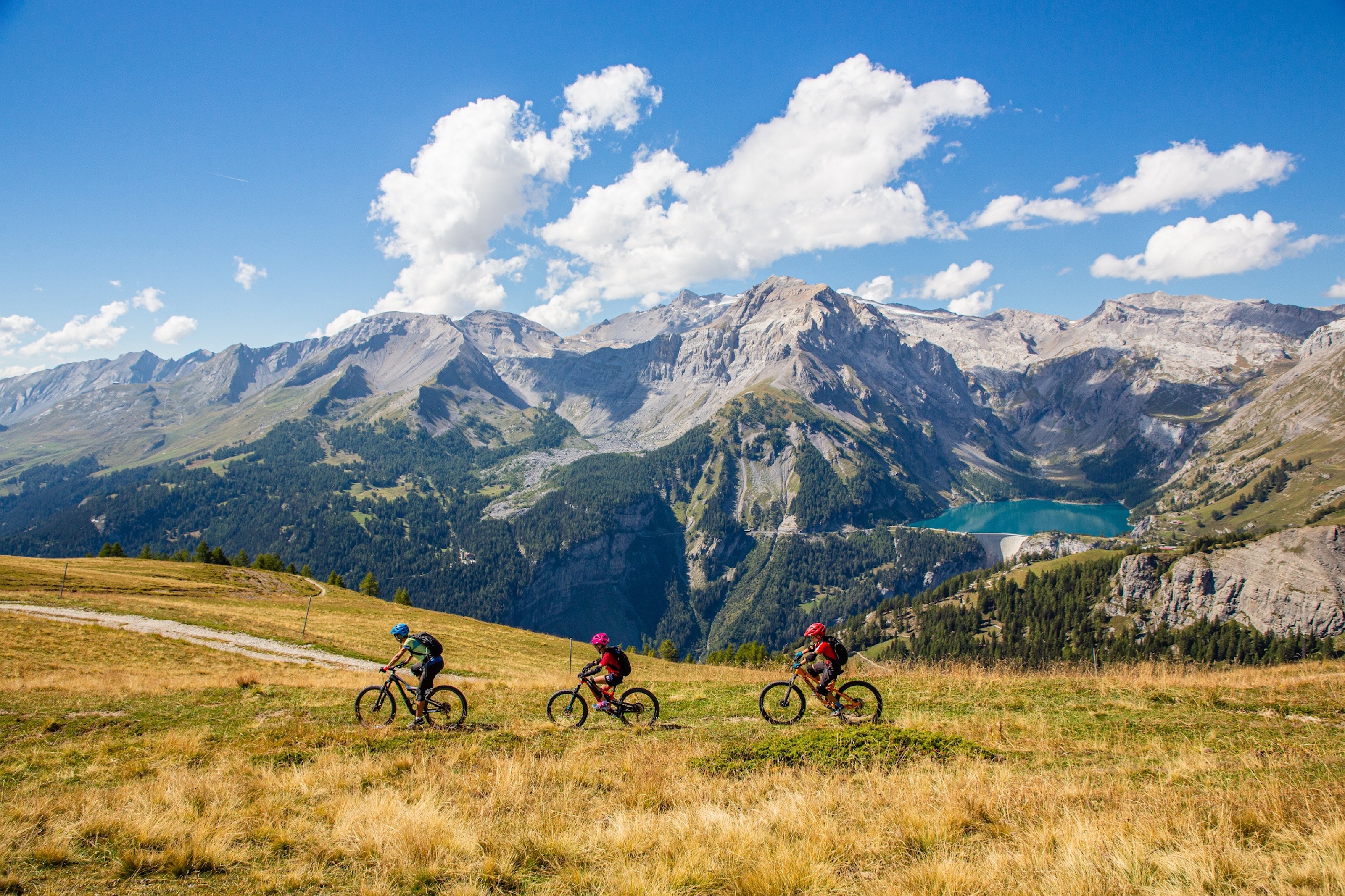
Your trip will first take you through hamlets, forests, alpine meadows, before leading you to the heart of Balavaux, with its 250 larches – each several centuries old – and the wild terrain of the Maretse. Next, refresh yourself at the Lake Tracouet before reaching the gondola, from which you can enjoy a breathtaking panoramic view of the Rhône valley and the Alps. You can also take the opportunity to relax at the Tracouet restaurant, before heading off on your descent, towards Haute-Nendaz.

Available offers

Your accommodation in a click

On our e-Shop, you can easily find and book the accommodation of your dreams from a wide selection of offers throughout the canton.

Turn-by-turn directions

Begin your outing at the "Centre Sportif de Haute-Nendaz" in order to ride up to Tracouet, following the bike signs 132. Set off in the direction of Tsamandon and follow the route des Crettaux. After 500 meters leave this route and take the forest track which goes up on your left. Follow this track as far as Prarion and continue your ascent across the alpine meadow of Balavaud and its famous larch trees. Your ascent continues up to the site of Tracouet and its Lac Noir (black lake). Once you have arrived at the summit of Tracouet, take a moment to enjoy the magnificent landscape and the restaurant before heading off on a quite sporty descent indicated by the bike signs 133. Join the right-hand side of the chairlift and follow the main track. At the intersection, go straight on in the direction of Sofleu. Your itinerary continues on the main road and after a slight ascent, you can benefit from a last and well-merited descent into the resort.

Start: Haute-Nendaz (sports centre) (1339 m)
Destination: Haute-Nendaz (sports centre) (1340 m)

Author's recommendation

For the less sporty; profit from the descent by going up in the telecabine. If the ascent attracts you all the same, be aware that this itinerary is adapted to electric bikes.

Technical information

  • Altitude

    2177 m 1339 m

  • Ascent

    927 m

  • Descent

    884 m

  • Technique

    Bewertung: 1 .0 von 5.0 Punkten

  • Stamina

    Bewertung: 3 .0 von 5.0 Punkten

  • Experience

    Bewertung: 6 von 5.0 Punkten

  • Landscape

    Bewertung: 6 .0 von 5.0 Punkten

Public transport

A regular bus service operates to Nendaz from Sion train station. The bus journey takes about 30 minutes. Regular connections from Geneva and Bern/Visp to Sion. 

Approach

Take the A9 motorway to Sion and then the exit to Sion-Ouest towards Nendaz. You will then have a 20 minute drive (15 kilometers) following the “Nendaz” road signs to reach the centre of the resort.

Parking

Four different car parkings are available in Haute-Nendaz. Follow the parking instructions.

Equipment

We recommend: a bike in excellent working order, a helmet, gloves and a bell, clothing suitable for the weather (always carry a waterproof), food and drink.

Safety information

Use marked bike trails and routes only, making sure you observe all signposting. Kindly close gates after passing through. Please be considerate to walkers, as well as to plants and animals. As a rule, walkers have priority. When planning, take into account participants’ fitness level and ability. All riding is at one’s own risk.

Additional information

More information: 


Literature

The tourist office in Nendaz has a range of brochures and other informative material about mountain biking in the region.

Maps

 SwissTopo Maps 1:25'000: 1306 Sion