Top 10 hikes with sights
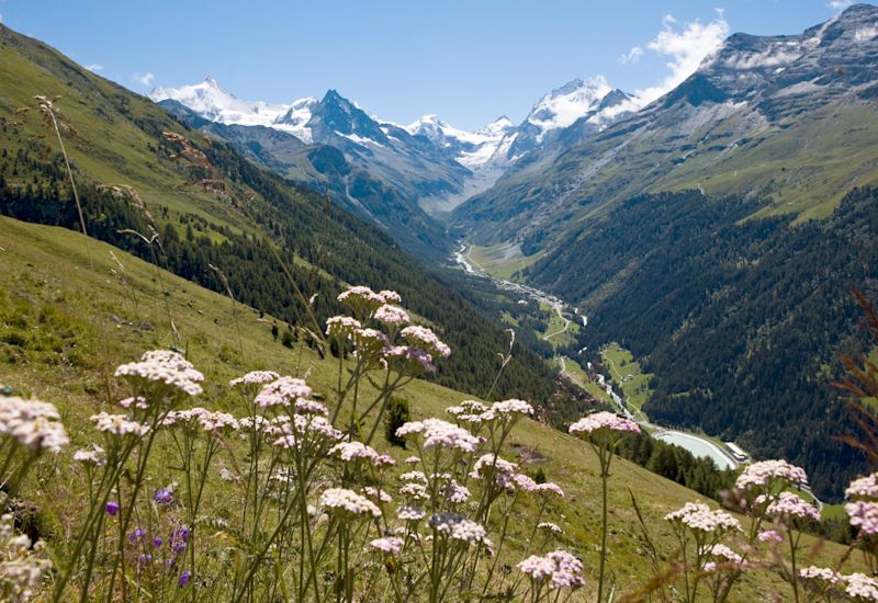
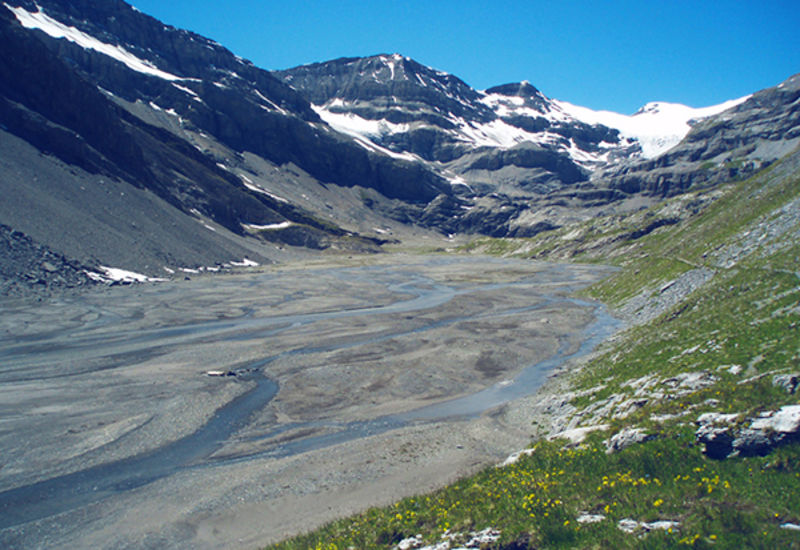
With more than 8,000 km of marked trails, the Valais is the ideal playground for hikers.
Using our selection of the ten most beautiful routes, set off on a voyage of discovery of the wonders the Valais has to offer: its fauna and flora, surrounded by majestic 4,000 metre mountains, mountain lakes, huts and glaciers. Get your hiking shoes and backpack ready quickly, the Valais awaits you!
Cabanes Orny & Trient (huts)
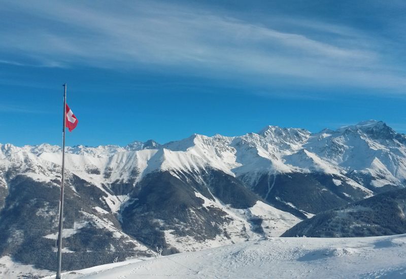
Start your ascent over the green larch trees by chairlift from Champex-Lac to La Breya. Make sure you look backwards during the ride for an exceptional view of the crystal-clear lake. At the top of the chairlift, you’ll enjoy an incredible panoramic view of the Combins, Dents-du-Midi and Catogne ranges with Lake Geneva in the background.
Follow the directions to Cabane d’Orny. You will see arnica, mountain avens and rampion growing on the edge of the narrow path along the Combe d'Orny; and keep an eye out for cairns (artificial piles of stones) on the scree you are crossing.
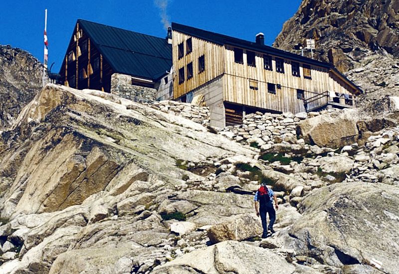
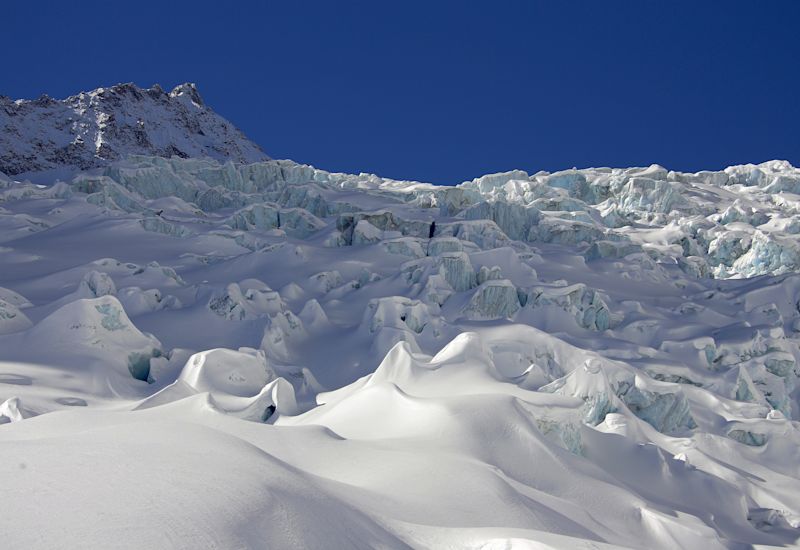
Continue on the moraine of the Orny glacier. When you reach the watchful eye of the bronze ibex, you will have reached your first goal: Cabane d’Orny. The rest of the way to Cabane Trient leads you to the eternal snows. Along the Orny glacier, you may see roped climbers ascending their route. As far as you are concerned, please do not venture onto the glacier without suitable equipment or guidance. Follow the path to the right of the glacier tongue in complete safety. After a climb, you will reach Cabane Trient. In front of you lies the vastness of the Trient glacial plateau up to the Aiguilles Dorées and the Aiguilles du Tour. Take a well-deserved break before returning by the same route.
Tour du Grand Chavalard
Start at the top of the Jorasse chairlift, on the path leading to the Petit Pré mountain pasture where cows graze under the eye of the bearded vultures, a mountain breed. Continue towards the Grand Pré d'Euloi to reach the highest point of the walk: the Col de Fénestral and its hut. The exceptional panoramic view of the Mont-Blanc range is well worth the effort. The walk continues through an abundant natural environment: alpine flora, marmots whistling as you pass and the bearded vulture soaring overhead accompany you towards the Fénestral. Head downhill from here and pass towards the Fully’s upper lake, with its turquoise water reflecting the surrounding peaks. The route continues on to Sorniot mountain pasture and hut. In this kingdom where the ibex rules supreme, the Grand Chavalard rises majestically before you. From the hut, head for the Sorniot settlement with its stone weighing several tons. Composed of siliceous limestone, there is nothing like it on the neighbouring slopes and was probably moved from the slopes of the Dent-de-Morcles by three glaciers in the Sorniot region. From here, follow the southern flank of the Grand Chavalard to reach the Sorniot trail with the Erie offering a breathtaking view of the Rhone Valley. The path winds its way between the Grand'Garde-La Seya ridge and the Chavalard and returns to the mountain pastures of Lui d'Août and Petit Pré. Head back to Jorasse from here.
Le sentier des Chamois / The Chamois Trail
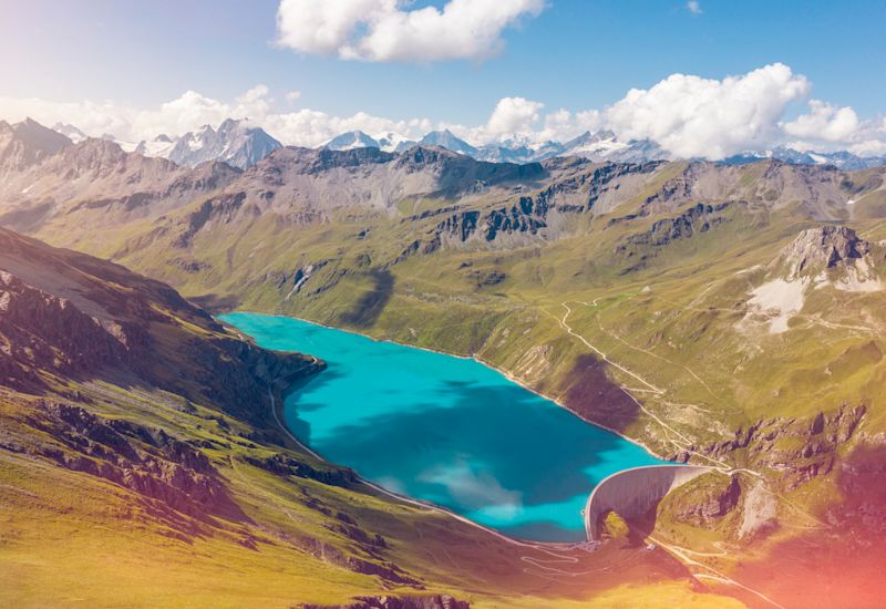
The Chamois trail starts at La Chaux. You can however start this walk at the 3D Sculpture Parc from Les Ruinettes. From La Chaux, head down towards Le Mintset through the pastures where Hérens cows live in summer. The rocky slopes may scare people suffering from vertigo. Encouraged by the impressive view of the Combins range and its glaciers, get to the Col Termin at an altitude of 2,648m and, from there, head down through chamois territory to the Plan de la Gole (pronounced "Plan da Gole"), where you meet up with the Louvie waterfall which feeds Lake Louvie, a stone’s throw from the hut, and in the heart of a nature reserve. The Louvie mountain pasture was once the hideout of the Farinet the legendary counterfeiter. Today, chamois, marmots and the rare red-billed chough have made it their home. At the end of the lake, large boulders emerge sporadically from the water in front of old stone vaulted stables revealing but their roofs. The presence of an old shepherds' house reminds us that various cheeses used to be stored here. After this, go down to Fionnay keeping an eye on the Grand Combin or Pointe d'Otemma until you reach the village.
Panorama 4000
The Chamois trail starts at La Chaux. You can however start this walk at the 3D Sculpture Parc from Les Ruinettes. From La Chaux, head down towards Le Mintset through the pastures where Hérens cows live in summer. The rocky slopes may scare people suffering from vertigo. Encouraged by the impressive view of the Combins range and its glaciers, get to the Col Termin at an altitude of 2,648m and, from there, head down through chamois territory to the Plan de la Gole (pronounced "Plan da Gole"), where you meet up with the Louvie waterfall which feeds Lake Louvie, a stone’s throw from the hut, and in the heart of a nature reserve. The Louvie mountain pasture was once the hideout of the Farinet the legendary counterfeiter. Today, chamois, marmots and the rare red-billed chough have made it their home. At the end of the lake, large boulders emerge sporadically from the water in front of old stone vaulted stables revealing but their roofs. The presence of an old shepherds' house reminds us that various cheeses used to be stored here. After this, go down to Fionnay keeping an eye on the Grand Combin or Pointe d'Otemma until you reach the village.
Hiking five 4,000m mountains
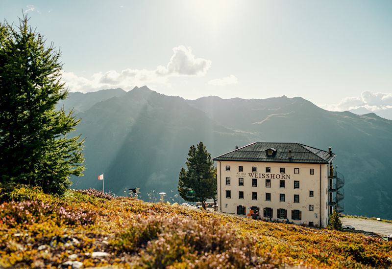
Take the panoramic Saint-Luc – Tignousa funicular (one of the highest mountain stations in French-speaking Switzerland, perched at 2,180m) to the top. The hike over the five 4,000m mountains begins near the FXB observatory for which Saint-Luc offers ideal conditions for admiring the sky thanks to the purity of the air and the absence of light pollution. The Planet Trail that you will be taking on this route displays our solar system, the sun and the stars as true works of art in the heart of the Alps. During the trail, you travel at three times the speed of light, with each metre covered corresponding to a distance of a million km in space. Towards the end of the trail, one of the most Saint-Luc’s most beautiful stars appears before you: the Hotel Weisshorn. Overlooking Saint-Luc from the place known as "Tête à Fayaz", located all alone in the midst of the steep southern slope of the Bella Tolla, you will have a panoramic view of the gorges, villages and peaks of the Val d'Anniviers. The path skims the Bec de Nava, from where bearded vultures, marmots or chamois may be observed, before heading towards Zinal.
From the Col de la Gemmi to the Cabane de la Lämmeren
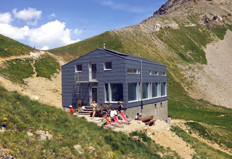
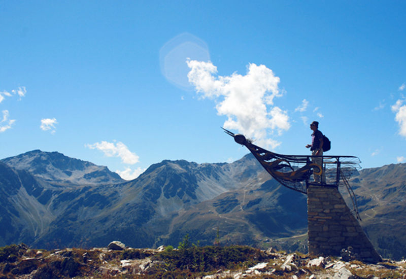
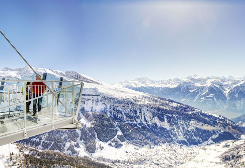
Head towards the Cabane Lämmeren from one of the most beautiful panoramic platforms in the Valais, located on the edge of the impressive Gemmi cliffs. The trail takes you close to limestone crevasses and shale screes. Along the way, information panels, set up by the hut's guardian, provide information on the thousand-year-old geology, fauna and flora or the impressive surrounding landscapes. Although surrounded by large steep rock faces, the hut offers a unique and unobstructed view of Balmhorn and Altels, two peaks on the border between the Cantons of Bern and Valais, as well as towards the Bietschhorn, also known as the King of the Valais. The return branches off towards Lake Lämmeren on the banks of the Lämerrenboden, where you can see ibexes enjoying the milder climate of the Valais. Shortly before the end of the itinerary, the Daubensee offers an open invitation to relax on its banks to recover from the effort of the hike.
Höhbalmen
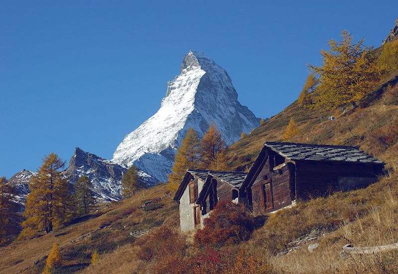
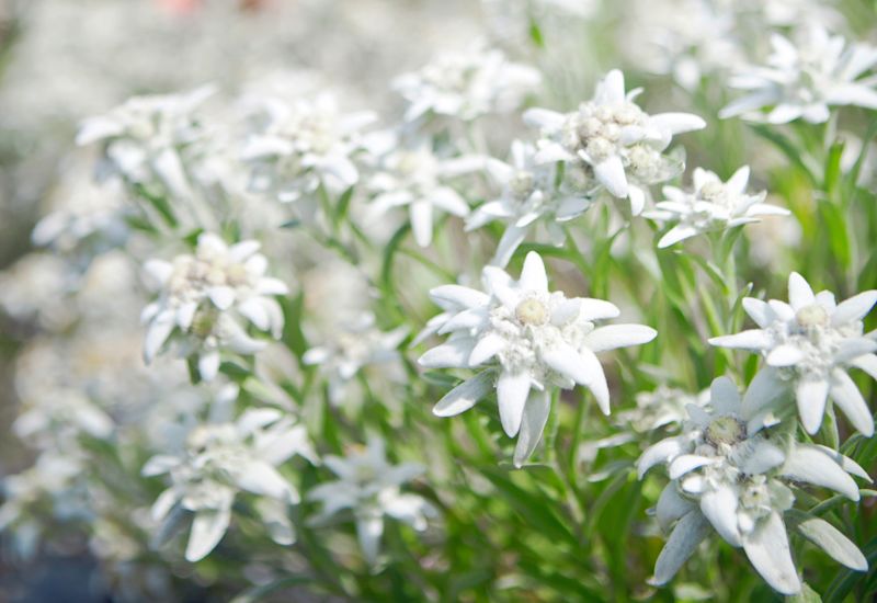
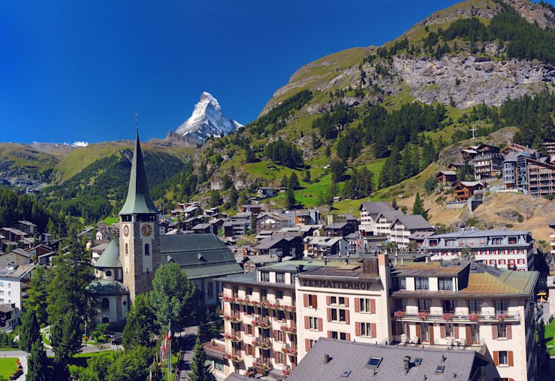
Start your ascent in the shade of the majestic larch trees opposite the famous Matterhorn and head for the Trift Hotel where the reward of some delicious apple pie awaits you after the 4 km climb you have just vanquished. From here, follow the winding path of a route that leads you to Höhbalmen and one of Zermatt's most beautiful scenic spots. Keep your eyes open throughout the trail for signs of Switzerland’s most emblematic flower: the edelweiss. With its fluffy white petals protecting it from the sun, frost and drought of the Valais, this delicate mountain flower and true Swiss icon, survives whatever nature inflicts upon it. The rest of the trail leads you to discover the Zmuttgletscher, which is usually upstaged by the famous Matterhorn to the south. From here, go down towards Zermatt passing the Arben waterfall, an ideal place to take a "picture postcard" photo with the Matterhorn in the background. To end off your hike in the heart of these green alpine pastures, make your way through the hamlet of Zmutt with its semi-detached wooden houses and remnants of the historical Valais architecture. Slowly head back to Zermatt through the larch forests and via the chalets on the outskirts of the resort.
Anenhütte
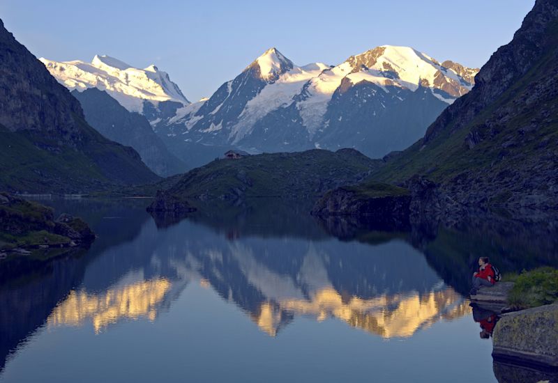
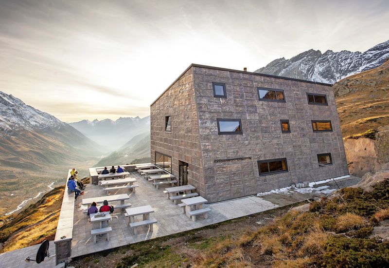
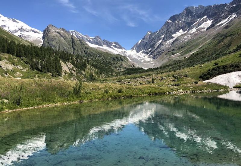
This magnificent hike takes you to both sides of the Lötschental, the largest side valley on the northern side of the Valais. From the Fafleralp, enjoy the breathtaking view of the Petersgrat and Tschingelhorn along the right bank of the Lonza. You’ll cross a large number of bridges spanning the many streams running below and close to flora of rare abundance. In front of you, in the distance, you’ll see the "Peter Tscherrig Anenhütte" hut, which is self-sufficient in its supply of electricity and water. On the way up, discover the Guggisee, whose crystal-clear water reflects the surrounding peaks. The hike takes you to the heart of the meadow and moraine landscapes of this UNESCO World Heritage region. Take advantage of this moment to observe the marmots, ibexes, northern wheatears or eagles that fly over this valley with its unspoilt natural environment. You will then reach the Peter Tscherrig Anenhütte cabin. Sitting on its stone terrace, spot the climbers ascending the Langgletscher before going down the valley on the south side. On your left, don’t miss the imposing glacier gate from which a stream flows that feeds the Lonza a few hundred meters below. The Grundsee and its clear water will be one of the final key milestones during your descent as you complete your circular hike in the Lötschental valley.
Höhenweg Allmagelleralp
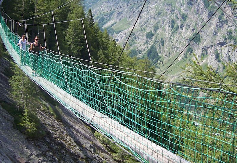
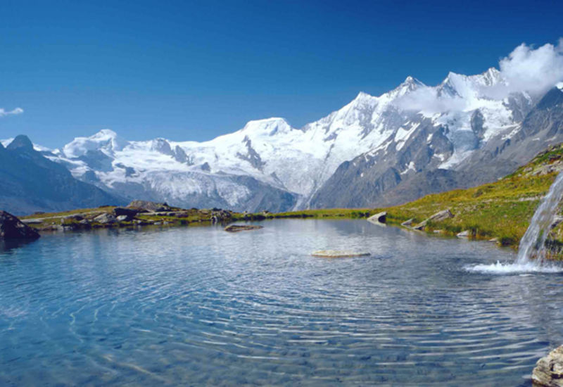
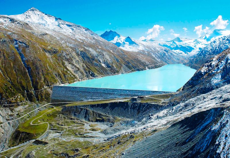
This route starts next to the Kreuzbodensee in front of the Triftgletscher. Go up the Saas Valley and progress to an altitude of 2,520 m in front of the many peaks that rise in a sawtooth shape in front of you. Don’t miss the Dom des Mischabels, which rises to 4,545 m and is the third highest peak in the Swiss Alps. The route runs along the Morgsteine to bypass the Triftgrätji ridge, offering an exceptional view of the valley floor and the Mattmark dam, so take advantage of this relaxing setting to breathe in the scent of the 240 species of flowers to be discovered along the trail. Key species such as edelweiss and gentian grow at this altitude. This relaxing environment subsequently gives way to rocky scree and the impressive cliffs that mark the rest of the route. This is the Almagell Discovery Trail, a breathtaking path that winds its way down the exposed slopes of the Almagellerhorn. Further on, your walk will be enhanced by two more than 40 m long suspension bridges. The climax on this route still awaits you once you have passed this point as you take on one last steep path along the rock face before heading back to the green meadows of the Saas Valley.
Bettmerhorn
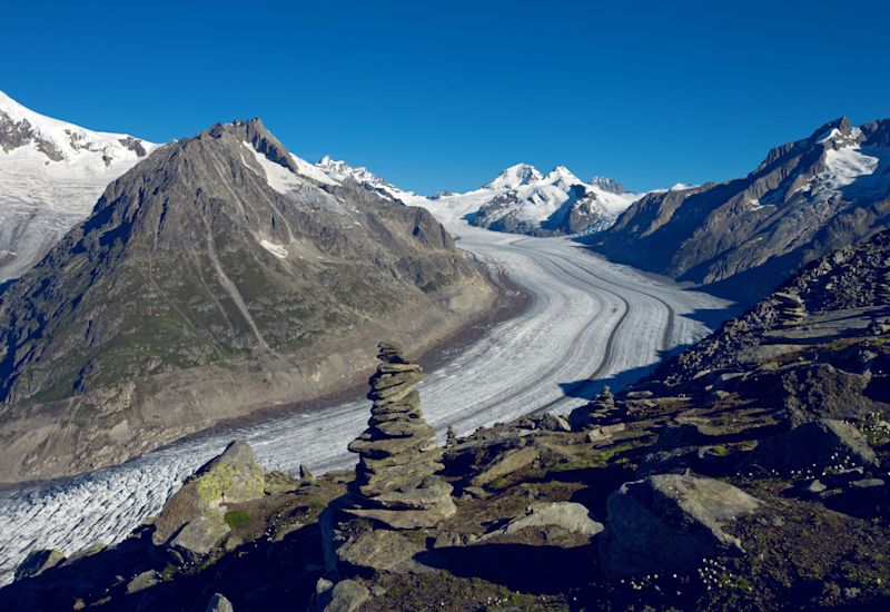
An impressive 23km sea of ice can be seen by visitors from the Bettmerhorn. This is the great Aletsch glacier. Go to the "View Point" located near the cable car station where "The Ice World of the Bettmerhorn" exhibition allows you to learn more about the glacier. Start your hike up the glacier itself towards the Märjelen Glacier Lake. Watch out for the Rollibock, a mystical creature that lives in the eternal ice of the glacier and whose aim in life is to protect the natural environment from anyone seeking to damage it. Once at the lake, look at the peaks shining in the water, the level of which varies according to the movement and melting of the ice. From the Gletscherstube hut, the last section of the hike passes through a local attraction: a former water tunnel converted into a pedestrian tunnel, offering a 1 km shortcut that takes you to radically different scenery with a view of the Rhone Valley on the other side of the Tälligrat. The sunny Aletsch plateau then takes you to the Bättmer Hitta restaurant offering a chance to enjoy a refreshing snack or two. The end of the hike takes you back to Bettmeralp, near the Maria zum Schnee Chapel, one of the village's main landmarks.

