Kreuzboden Bike

Saas-Grund
2/6°
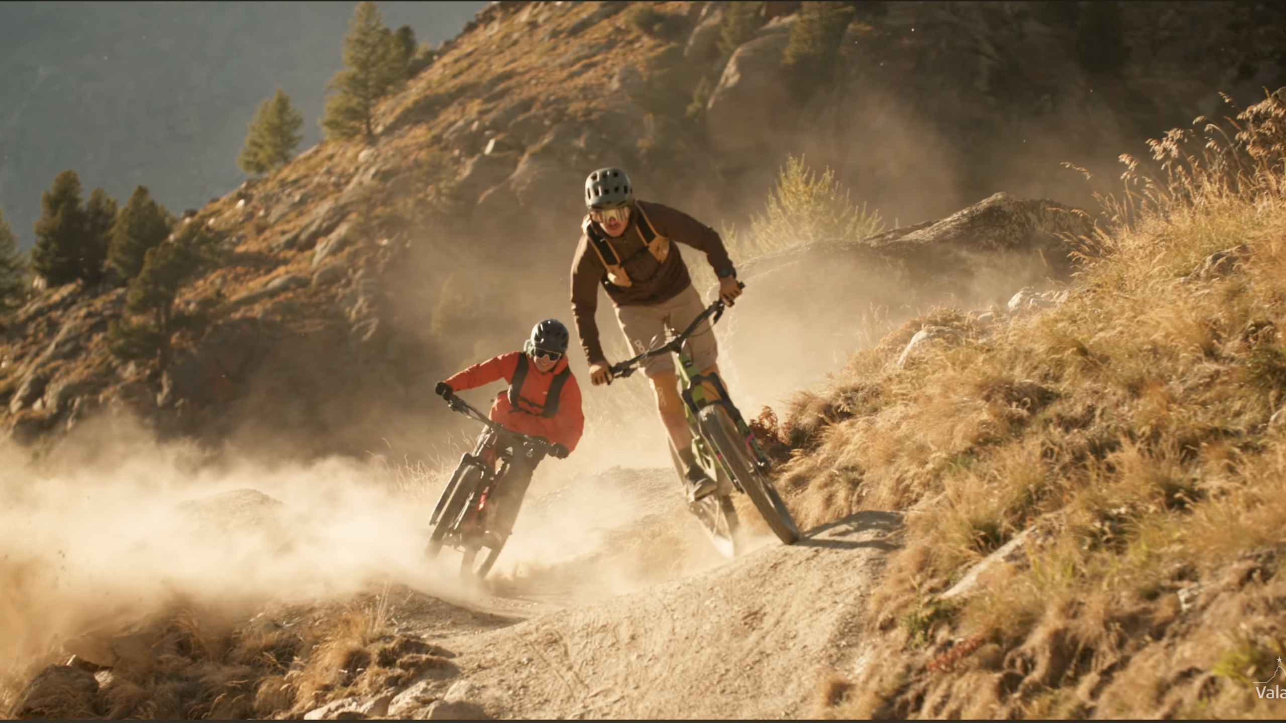
ClosedIn addition to a breathtaking view of the 4,000-metre peaks of the Saas Valley and a 900-metre difference in altitude, there are many highlights for mountain bikers on this trail.
Difficulty
IntermediateLength
19.05 kmDuration
2:50 hDescription
This route offers everything mountain bikers could wish for: an 11-kilometre ascent through the larch forest along the Saas-Grund Alps to the tree line in Kreuzboden at 2400 metres, followed by a fast descent on the Trift Flowtrail and a singletrack through the Furwald forest to finish in style.
All this is framed by an alpine landscape and the view of the highest mountains in Switzerland. There are plenty of great photo points along the way. After the ascent to Kreuzboden, loungers and hammocks are available for sports enthusiasts to enjoy a relaxing moment not far from the Kreuzbodensee. If you wish to prepare for the descent to Saas-Grund, the Bike Skills Park is ready for a few trials runs.
Our favorites
Our favorite itineraries are part of a selection of the best routes in the region and are proposed by Valais/Wallis Promotion to best meet the expectations of our guests.
Turn-by-turn directions
The trail starts at the Hohsaas cable car station. It follows the Flurstrasse uphill, past the last Saas-Grund houses and the bridge, before continuing through the forest and several alpine pastures. After the Triftalp meadow, you’ll reach the “Zingelstapfu” junction, where the trail turns north and continues up to Kreuzboden station.
Behind the Kreuzboden mountain restaurant, the second part of the tour, the descent, begins. The first bends lead through alpine meadows, before crossing the bridge to the edge of the ski run. The route branches off to the right and leads through alpine meadows and small woods to Triftalp before following the country road to “Zingelstapfu”.
At the hairpin bend, the path forks to the right and continues downhill, changing direction to the north at the next junction. After about 15 bends, it reaches a wide country road. Just before the end of the forest, turn left and then, after a few hairpin bends, continue left at the next junction near the irrigation canal. The route eventually turns right onto a narrow path and winds to the next corner, which joins the country road. From here, the trail descends to your starting point in Saas-Grund.
Start
Valley Station, Saas-Grund (1553m)
Destination
Valley Station, Saas-Grund (1553m)
Author's recommendation
- Spend some time at the Kreuzboden Lake and the Bike Skills Park.
Technical information
Altitude
2402m
1553m
Ascent
+918m
Descent
-918m
Technique
Stamina
Experience
Landscape
Best time of the year
- Jan
- Feb
- Mar
- Apr
- May
- Jun
- Jul
- Aug
- Sep
- Oct
- Nov
- Dec
Tags
Public transport
Take the SBB to Visp and change there to the post bus in the direction of Saas-Fee (bus 511). In Saas-Grund, get off at the Bergbahnen stop.
Approach
Saas-Fee/Saastal can easily be reached by car from all directions, whether from Switzerland or abroad.You can reach us via Bern via the Lötschberg car transport from the north. You come over the Furka Pass or the Furka car transport from the east.From the south, you can reach us via the Simplon Pass or Simplon car transport, and from the west, you drive via Lausanne along the Rhône valley to Visp and towards Saas-Fee.
From Visp, drive south in the direction of Saas-Fee. At the "Killerhof" roundabout after Stalden, take the second exit towards Saas-Fee. Follow the main road to Saas-Grund.
Parking
Car parking is available at the valley station of the Hohsaas mountain railway.
Source
This activity is brought to you by Saas-Fee/Saastal. Valais/Wallis Promotion is not responsible for the content provided.


