Bisses
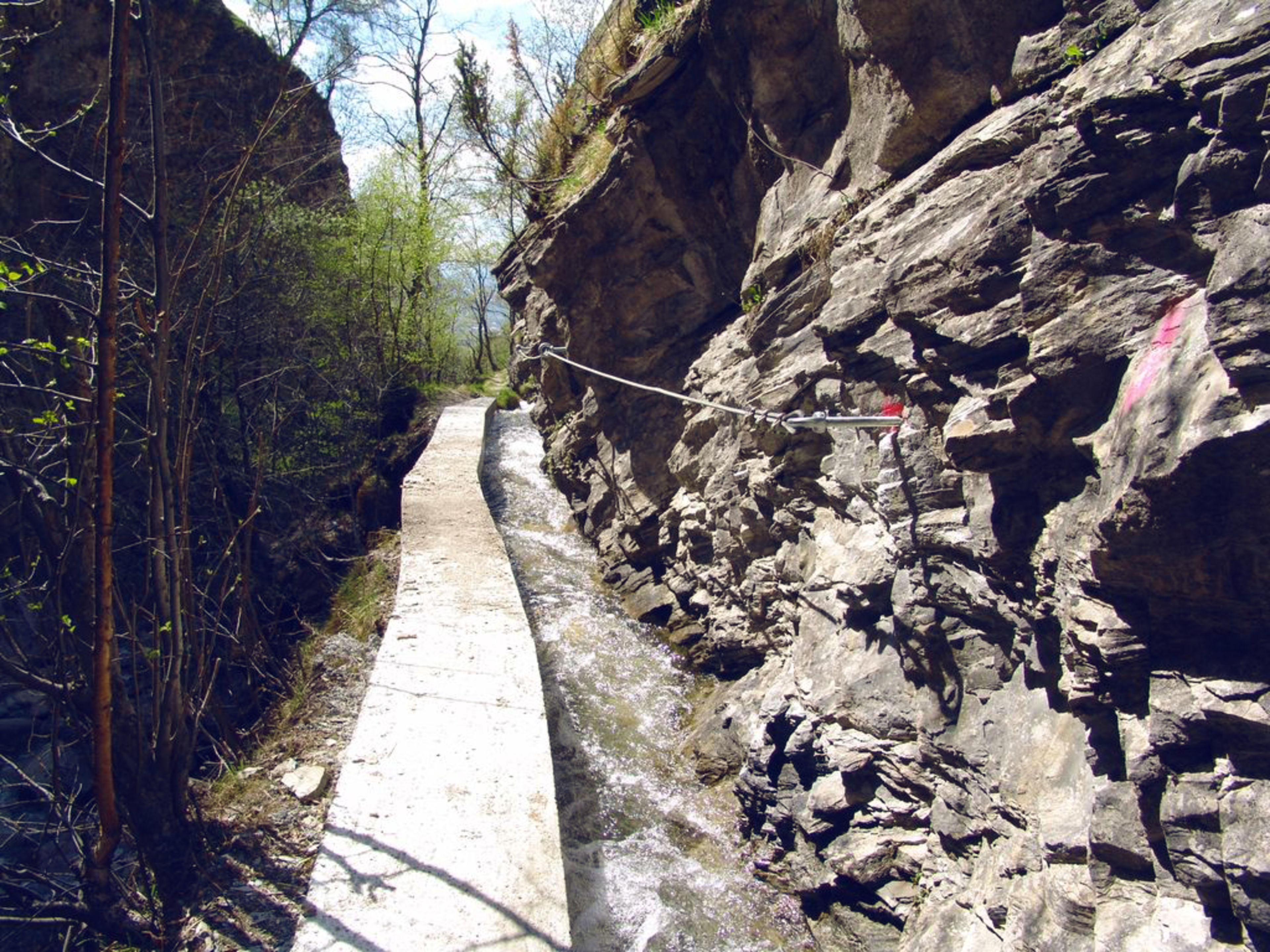
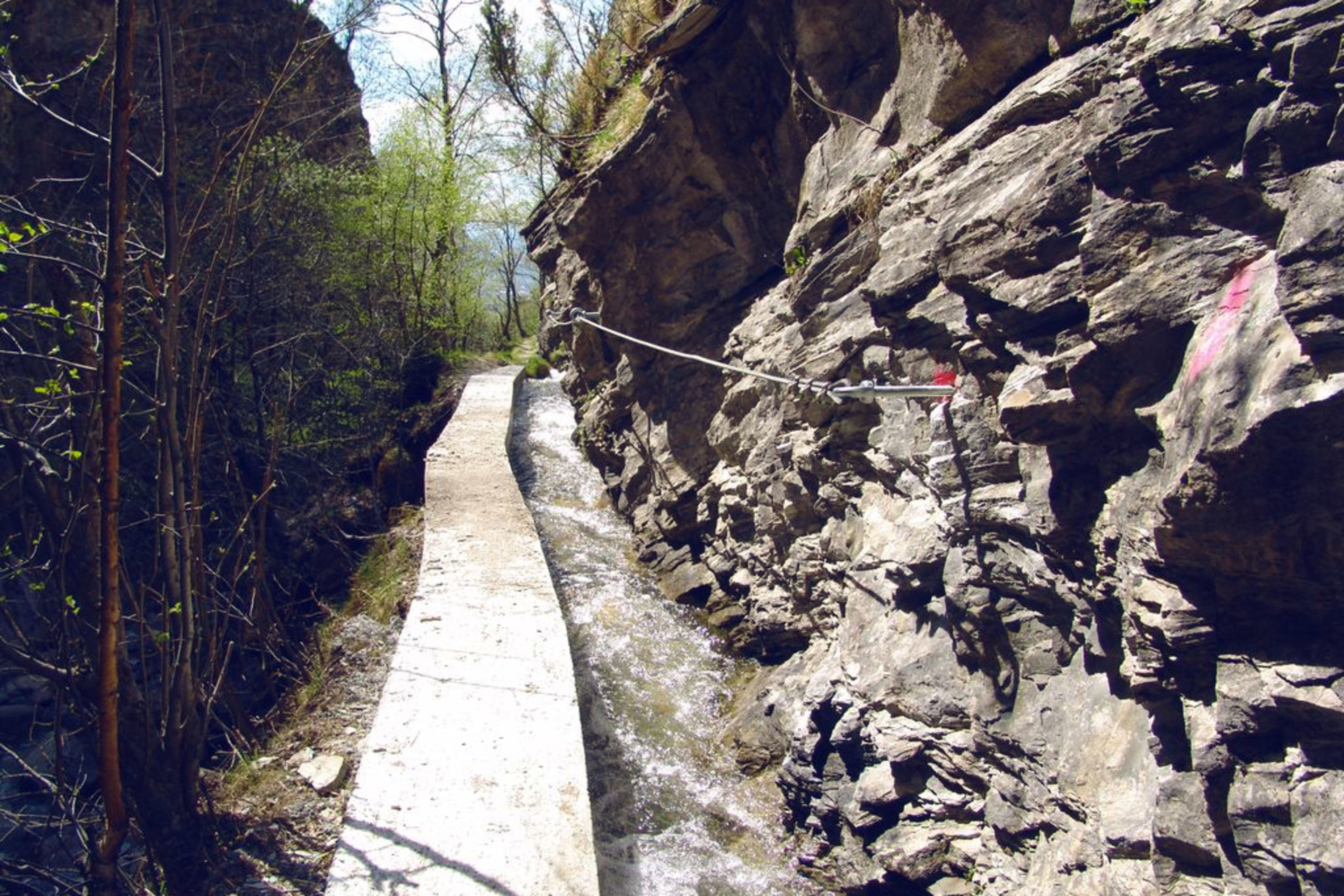
Manera - Stägäru - Lüegjeru

In 2005, the Commune of Niedergesteln built a suspension bridge and a metal stairway to provide an access route that is dry underfoot in order to descend below the roaring waters of the Jolibach stream to the Stägeru’s water intake at 900 m. Part of the Stägeru was channelled into the Lüegjeru, because its former intake fell victim to a storm. Reports of the Stägeru date back to 1552 and the Lüegjer was probably constructed in the 17th century.
Meteo
More detailsGampel-Bratsch-Jeizinen26.07.2024 10:07
- 15°
- 31°
- 40%
- 15km/h
Links & downloads
Information
Starting point: Gampel-Steg (691 m)
Destination: Niedergesteln (638 m)
Details
Difficulty
medium
Distance
11,6 km
Vertical metres
+450m, -445m
Hiking time
3h45

