Bisses
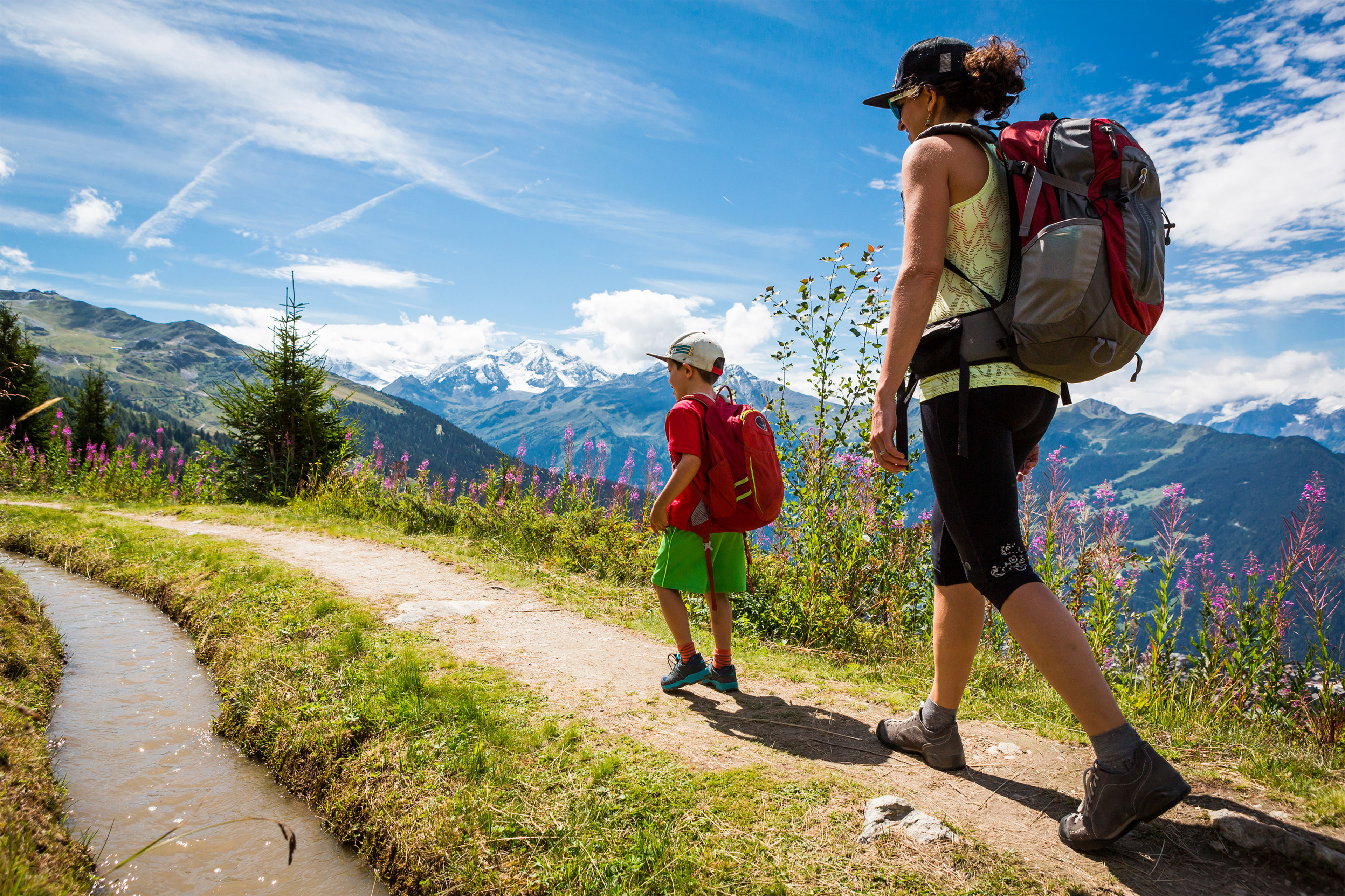
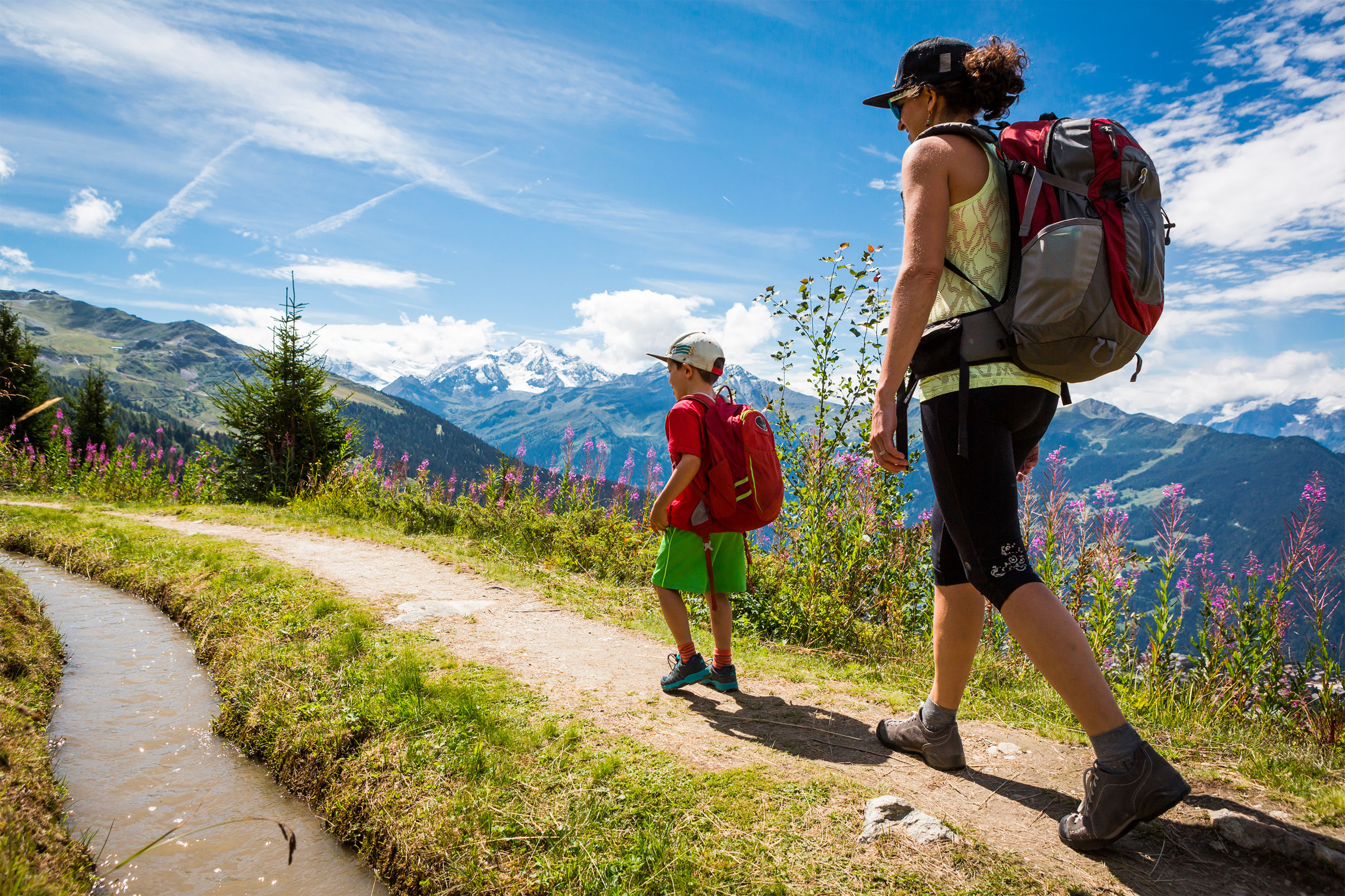
Bisse du Levron

It drew its water from the Torrent de Versegères below the Chaux glacier at an altitude of 2,500 metres; this channel irrigated the entire territory of Vollèges commune. Another source, La Raye des Verbierins, added its waters to the channel’s flow below the Mont Fort hut. Since 1957 when the Mauvoisin Dam was built, a tunnel from Louvie to the Col du Lin has carried water to Le Levron and Vollèges.
Meteo
More detailsVerbier29.04.2024 22:04
- 6°
- 14°
- 60%
- 10km/h
Links & downloads
Information
Starting point: Les Ruinettes (2'192m)
Destination: Verbier (1'490m)
Details
Difficulty
difficult
Distance
14,6 km
Vertical metres
+60m, -830m
Hiking time
4h

