Hikes

Activities

Chemin du Vignoble: Sion to Venthône (stage 3)

The third stage of the Chemin du Vignoble (“Vineyard Trail”) leads from Sion to near Sierre, along a scenic “bisse” irrigation channel and past charming vineyard restaurants.

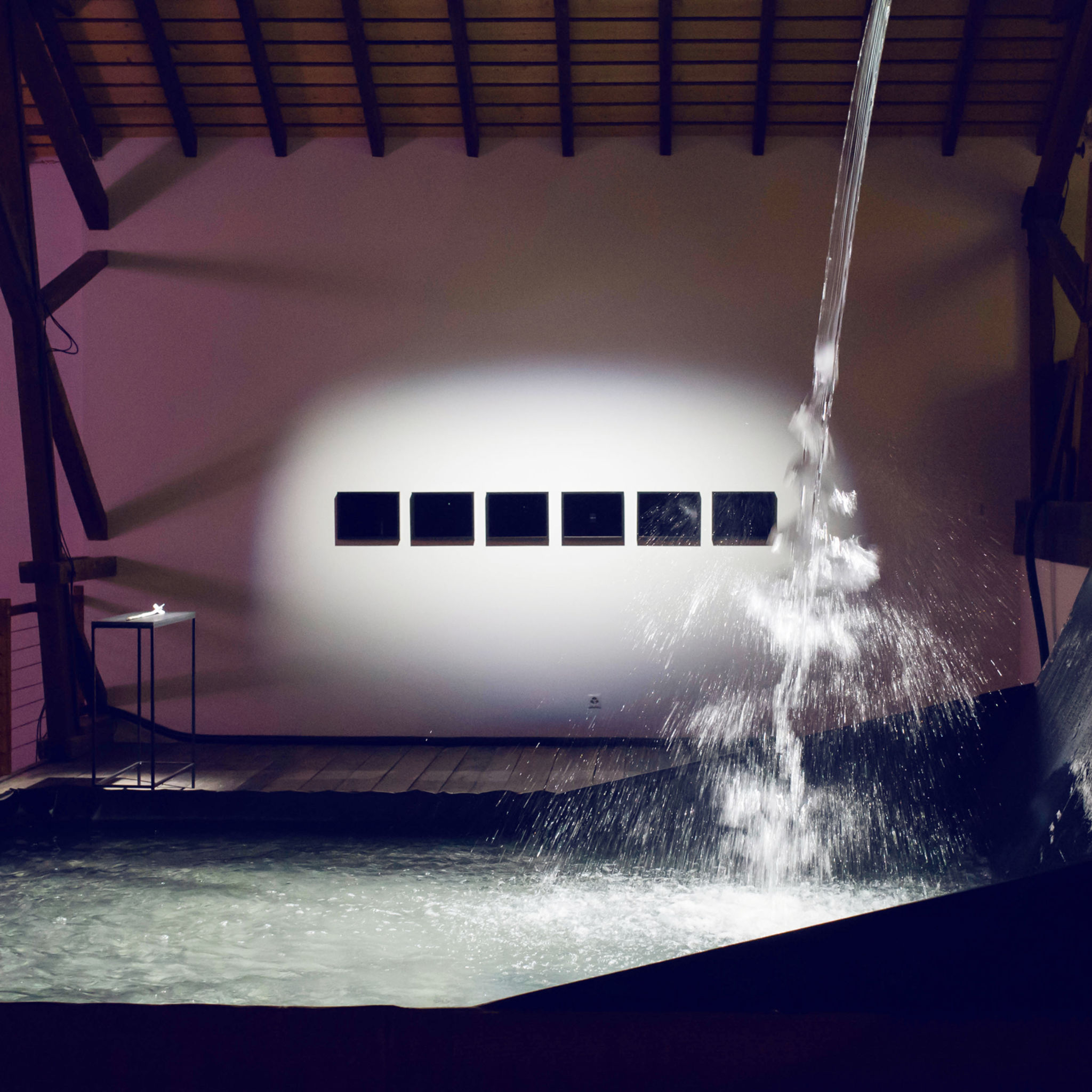
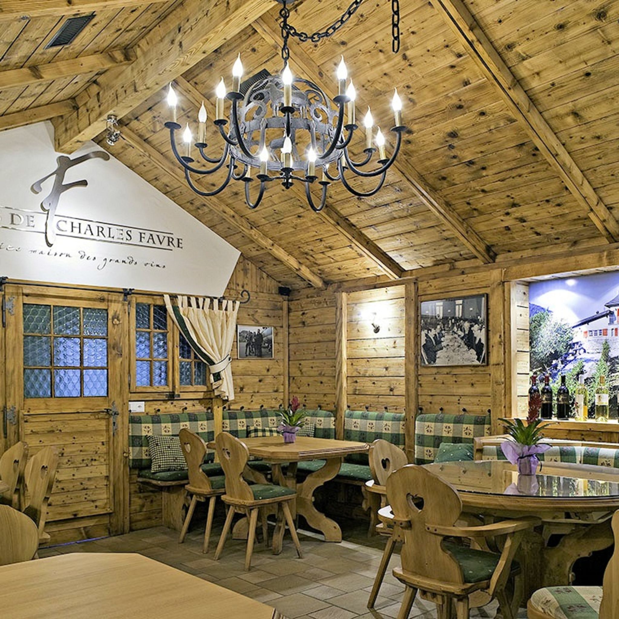
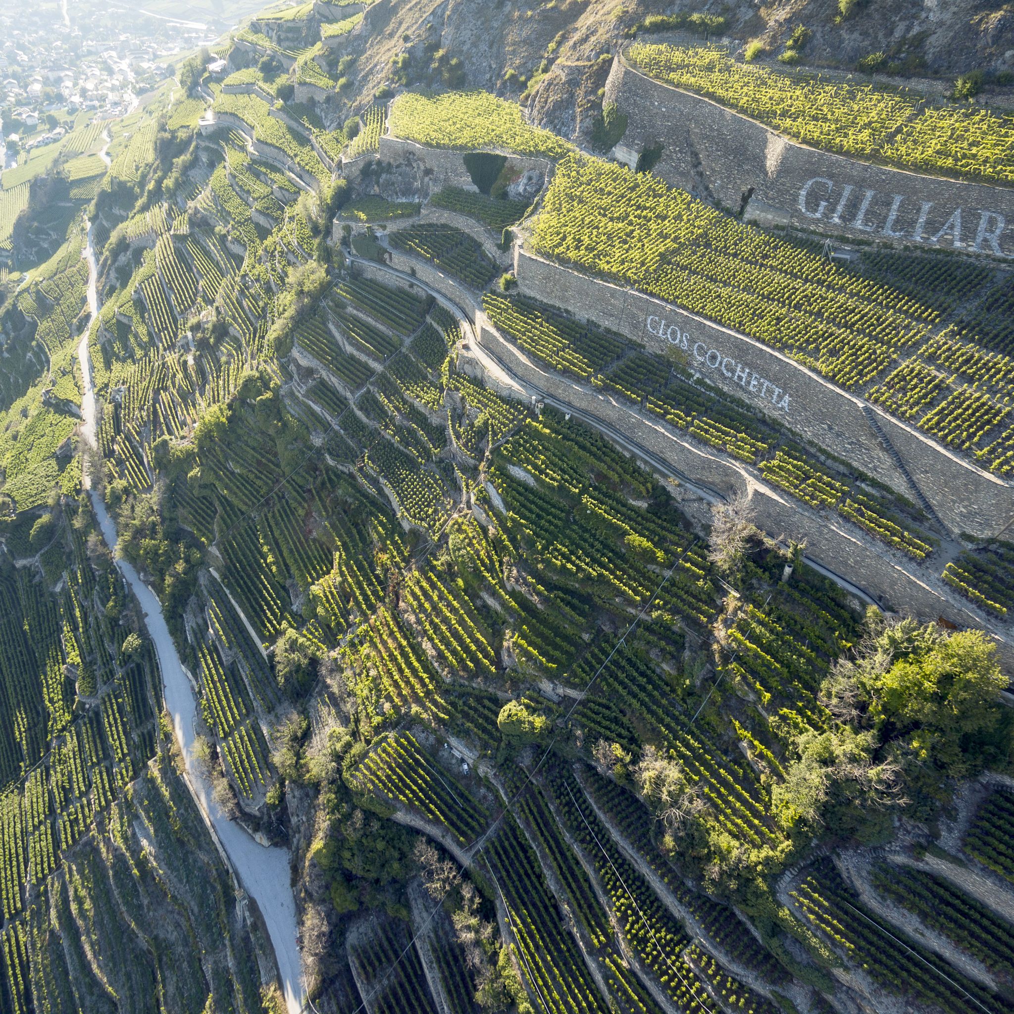
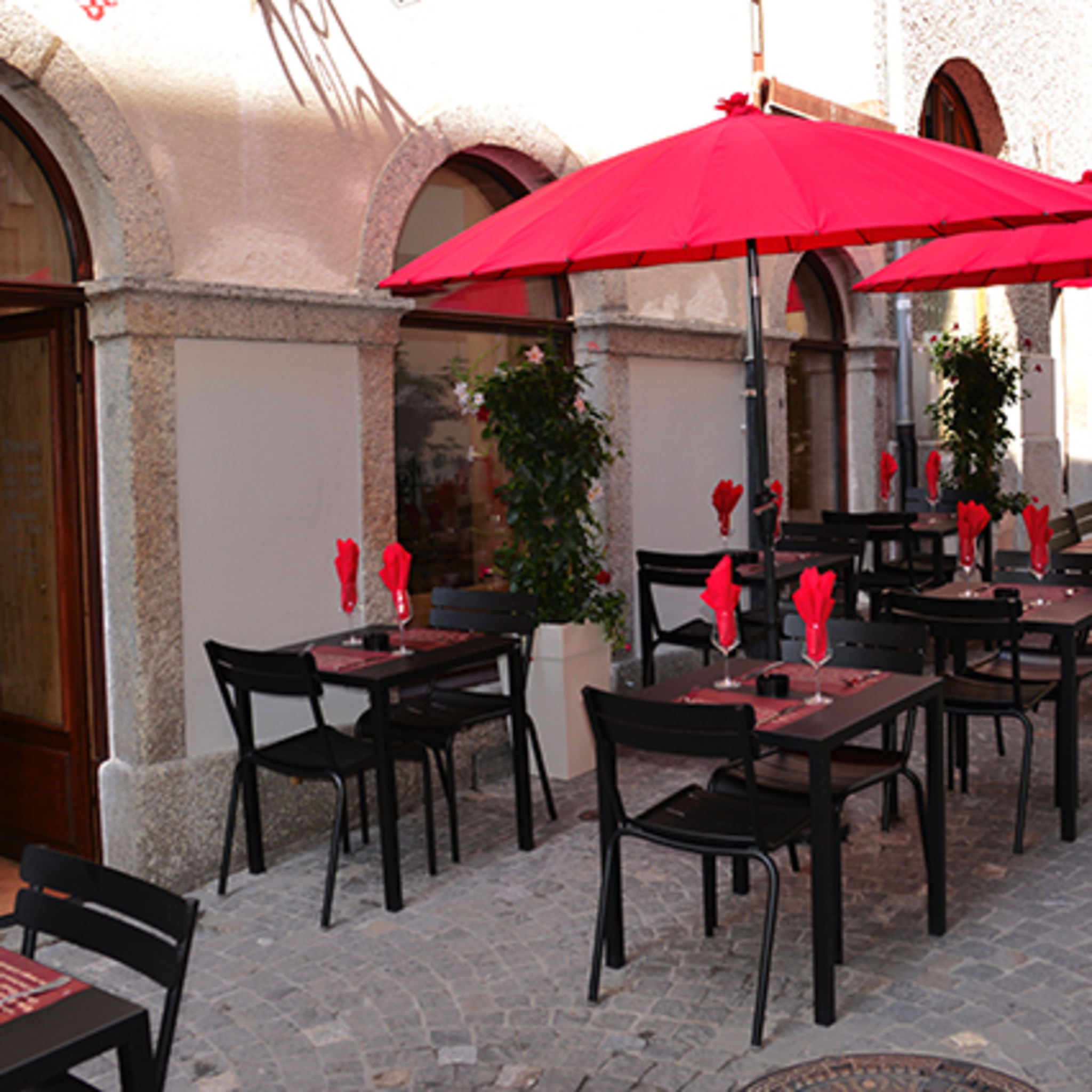
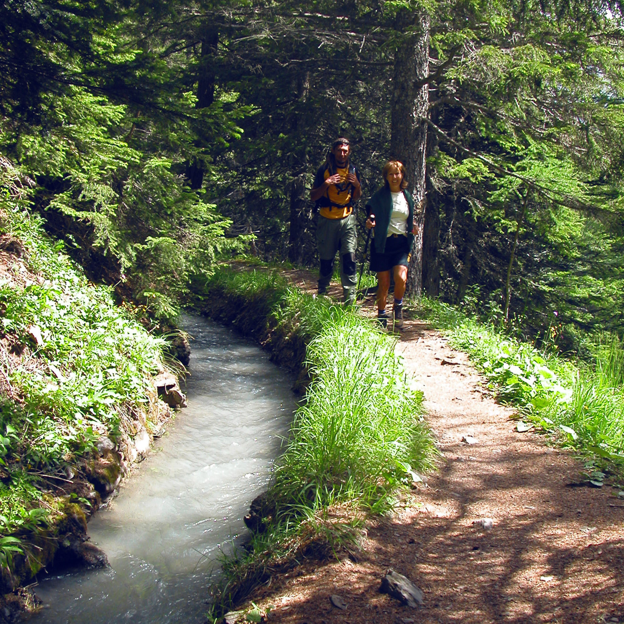
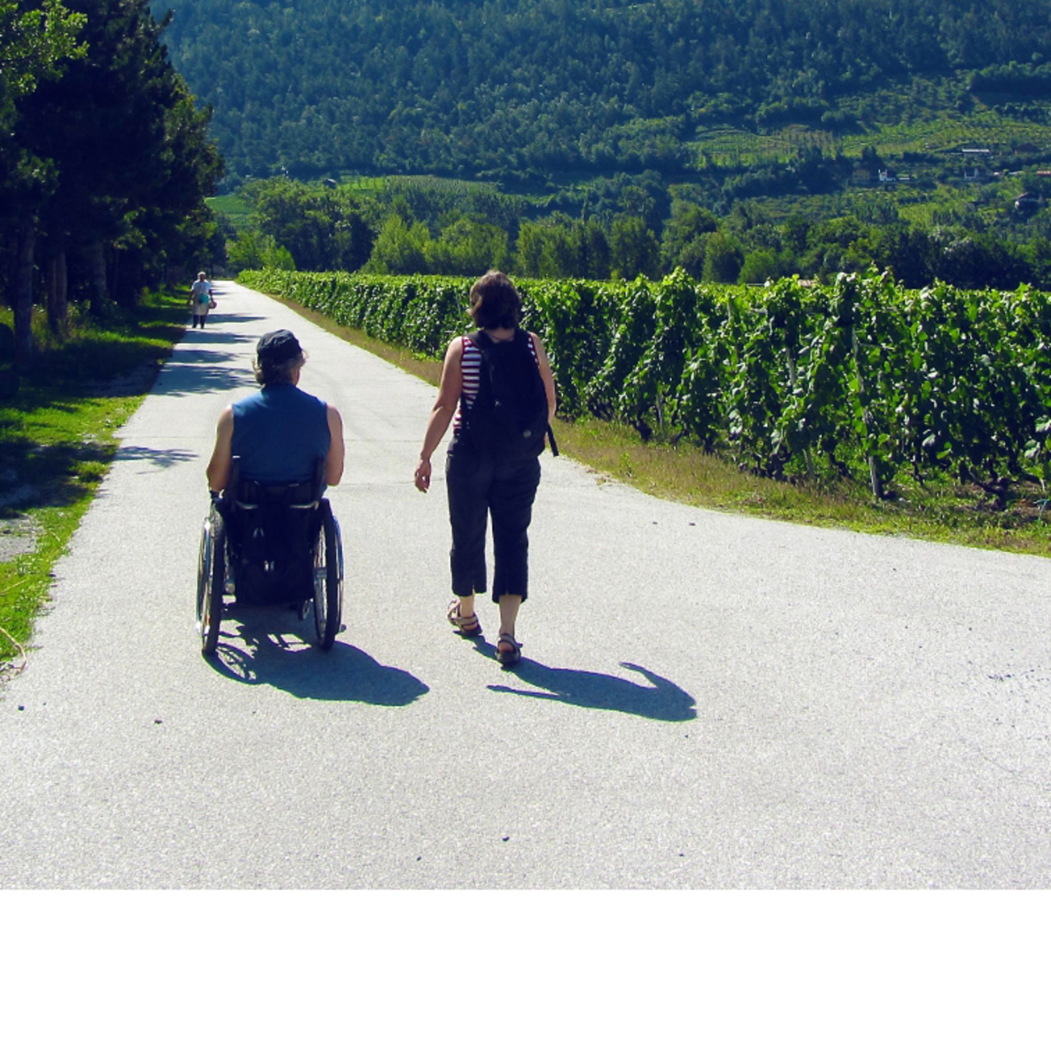
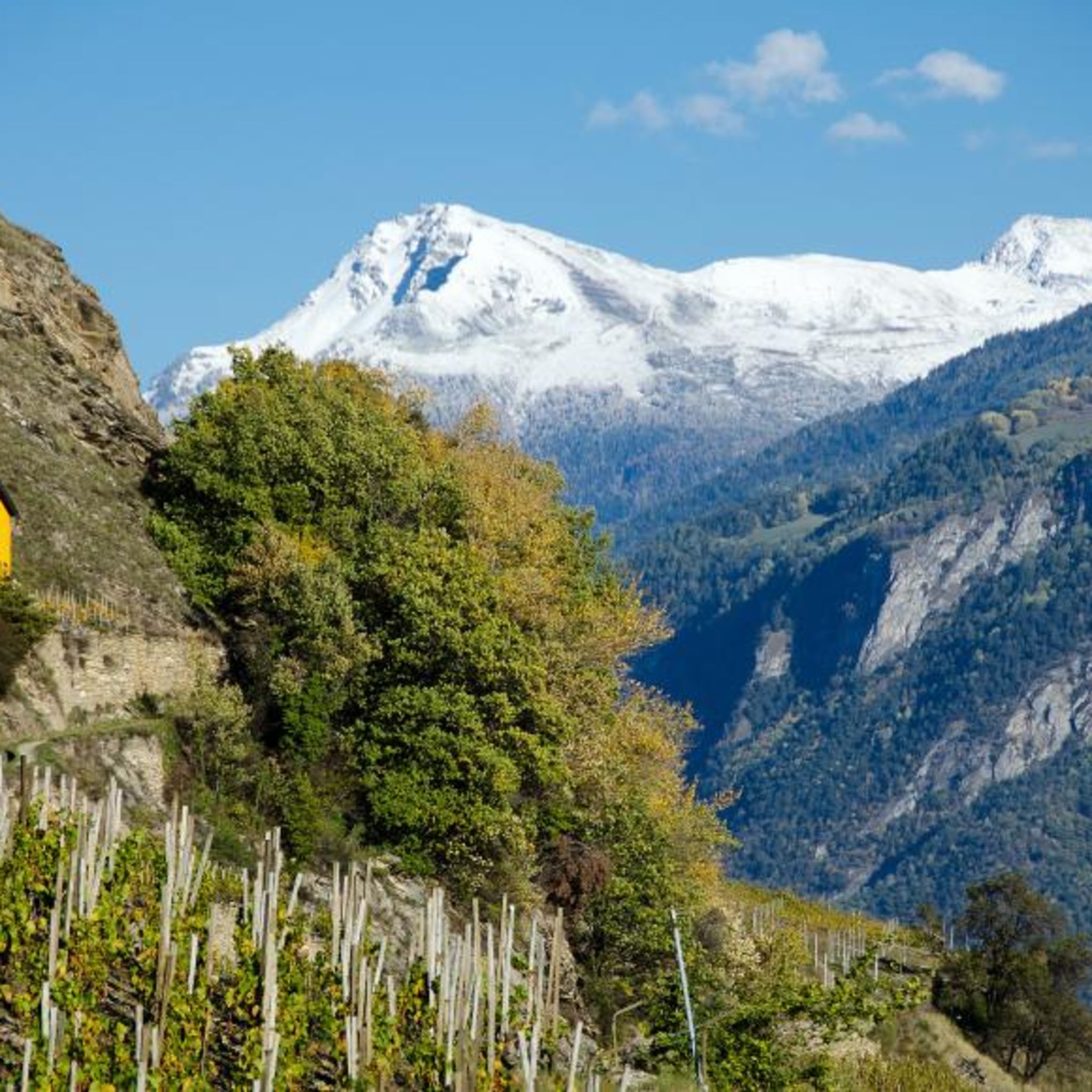
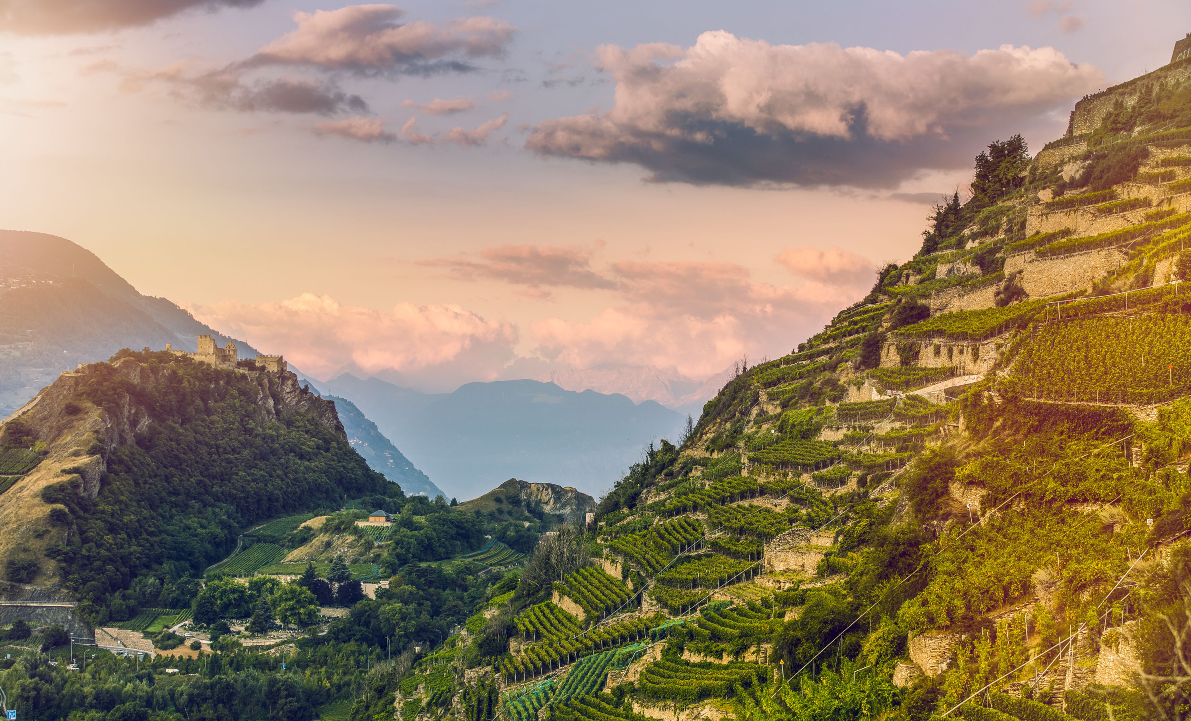
The Chemin du Vignoble follows a scenic route through the sunny, south-facing vineyards and their charming villages. There are also versions for cyclists and motorists, but it is the 4-stage, 65-km hiking trail that allows the most leisurely experience of the many pleasures en route. Along this third stage, from the northern edge of Sion to the vineyards above Sierre, the valley of the river Rhône is noticeably narrower. Water plays a starring role from the very beginning of this leg of the hike: the route leads along a “bisse”, one of the historical irrigation channels built to carry precious water from the glaciers to the sunny vineyards, orchards and fields of Valais. The Bisse de Clavau was built in the mid-15th century and leads through some of the world’s steepest terraced vineyards – with superb views over the ancient city of Sion. This first section features several “guérites” – open-air vineyard restaurants, shaded by vines, ideal for exploring the local wines.   When the path reaches the gorge of the river La Liène, the trail leaves the “bisse” to drop down to the village of St-Léonard to cross the river before climbing back up to the vineyards on the far side. And here, the path passes over one of the most unusual attractions in Valais: the largest navigable underground lake in Europe. Access is from the village below; the 30-minute guided boat tours over the crystalline waters are magical. The trail continues through a string of winemaking villages to finish in charming Venthône, home to a cluster of medieval buildings including a 12th-century fortified tower that now houses a restaurant and exhibition space.   Highlights Bisse de Clavau – historical irrigation channel with superb views over Sion, attractive “guérite” vineyard restaurants along the way Europe’s largest navigable underground lake at St-Léonard String of pretty winemaking villages, tasting opportunities en route

Available offers

Valais vineyard trail on foot

Along this path you will discover homely wine taverns, typical wine villages and some of the steepes...
From 749 CHF

On the trace of wine

Fendant, Malvoisie or Heida are just a few of the most famous wines from the Valais. The grapes of these noble wines ripen in the plain between Martigny and Leuk, through which the Chemin du Vignoble passes. Along this path you will discover homely wine taverns, typical wine villages and some of the steepest vineyards in the world. Not only are the grapes that ripen along the Chemin du Vignoble unique - the walk itself is a real treat.

Itinerary

Day 1: Arrival in Martigny | Martigny – Saillon

Luggage drop-off in Martigny and bus ride to Branson to the starting point of the hike. Between Martigny and Saillon, you will find yourself in the land of Gamay and fascinating contrasts: at your feet the fully cultivated Rhone Valley, in the distance the glittering snowfields of the Mont Blanc. The town of Fully is the capital of the Petite Arvine.

Approx. 3.5 h / approx. 12 km / 420 m ascent / 370 m descent

Day 2: Saillon – Sion

Includes steep limestone walls tower imposingly over the debris cones at Chamoson where with gravel beneath them, the vines are almost at risk of burning in the sun. Vétroz - the cradle of the rare Amigne grape variety; and enchanting vine terraces with ancient irrigation channels surrounding Sion. Guided tour of Sion with wine tasting.

Approx. 6 h / approx. 20 km / 785 m ascent / 690 m descent

Day 3: Sion – Sierre

Explore vine terraces that are among the steepest in the world and follow an easy hiking trail to the Coteaux de Sierre, the largest AOC area in Switzerland. End off with an evening raclette tasting in the "Château de Villa".

Approx. 5 h / approx. 18 km / 635 m ascent / 475 m descent

Day 4 : Sierre – Leuk | Departure

A quarter of the Valais Pinot Noir production comes from the Leuk, Varen and Salgesch region. The region is a paradise for nature lovers with surprising new things to be discovered everywhere you look. Don’t miss the fantastic view from the hilltop church near Varen. Individual departure after arrival in Leuk.

Approx. 4 h / approx. 14 km / 490 m ascent / 590 m descent

Tour characteristics

A wonderful hike through the vineyards of the Valais, on well-developed and unchallenging paths. The somewhat long stages can be shortened easily by using public transport although basic fitness is nonetheless required. The Rhone valley can be very hot in summer.

What’s included:

  • 3 overnight stays incl. breakfast

  • Daily luggage transfers

  • Valais connoisseur package*

  • Voucher for arrival by train**

  • Detailed tour documentation (1 x per room)

  • Carefully elaborated route

  • GPS data available

  • Service hotline

Not included :

  • Travelling by public transport on day 1

  • Tourist tax, if due, is not included in the price.

Option of additional nights - booking after your payment (you will be contacted by our booking team):

  • Martigny: CHF 95.- (per person in double room)

  • Single room surcharge: CHF 45.-

  • Susten: CHF 95.- (per person in double room)

  • Single room surcharge: CHF 35.-

Cancellation conditions:

  • Up to 29 days before the start of the trip: 20%

  • 28 – 15 days before the start of the trip: 50%

  • 14 – 08 days before the start of the trip: 70%

  • 07 – 1 days before the start of the trip: 90%

  • 0 day before the start of the trip / No–show: 100%

Valais connoisseur package

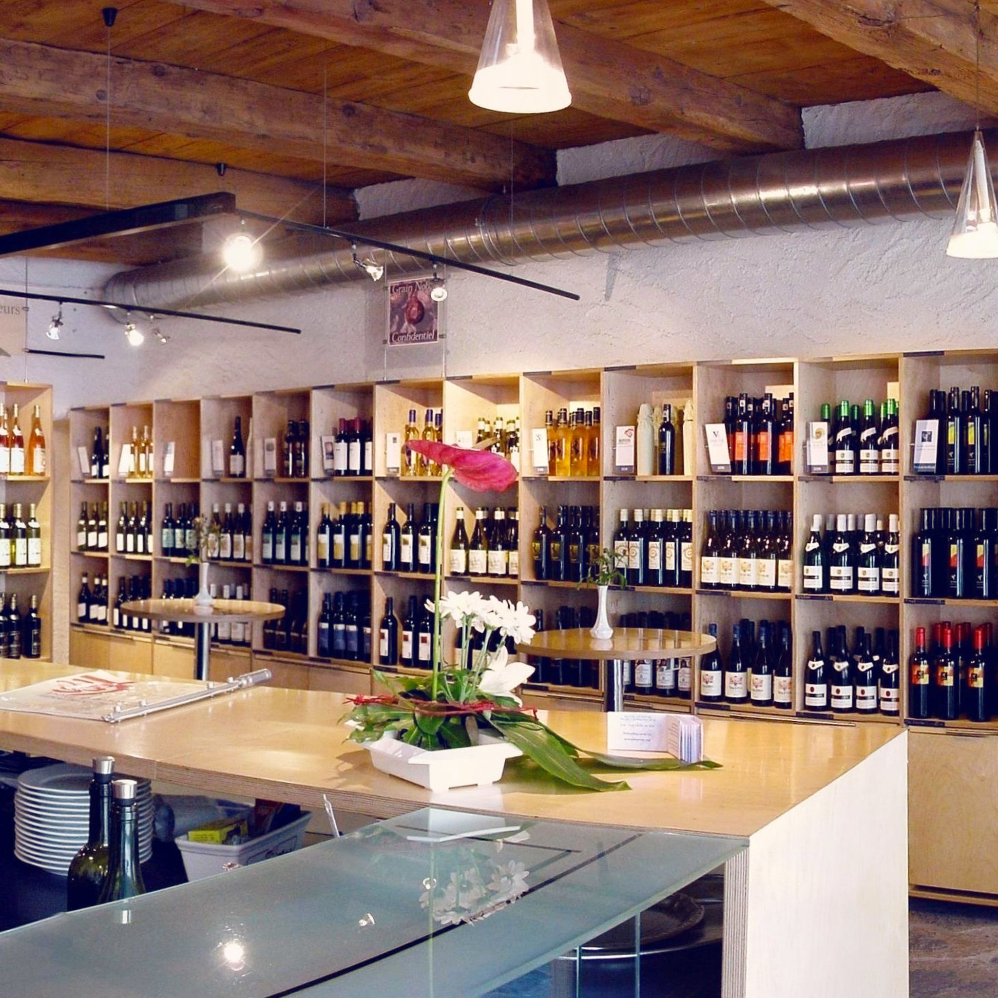
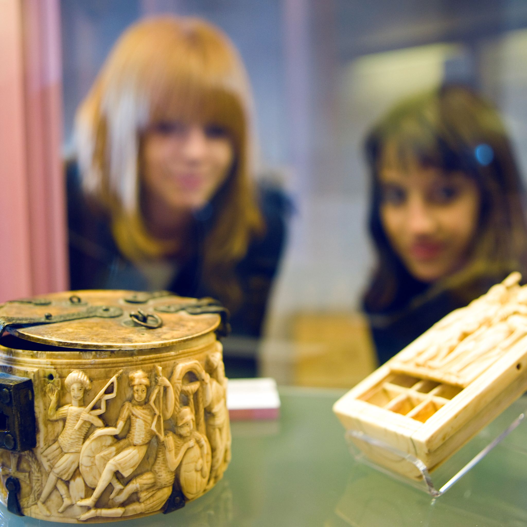
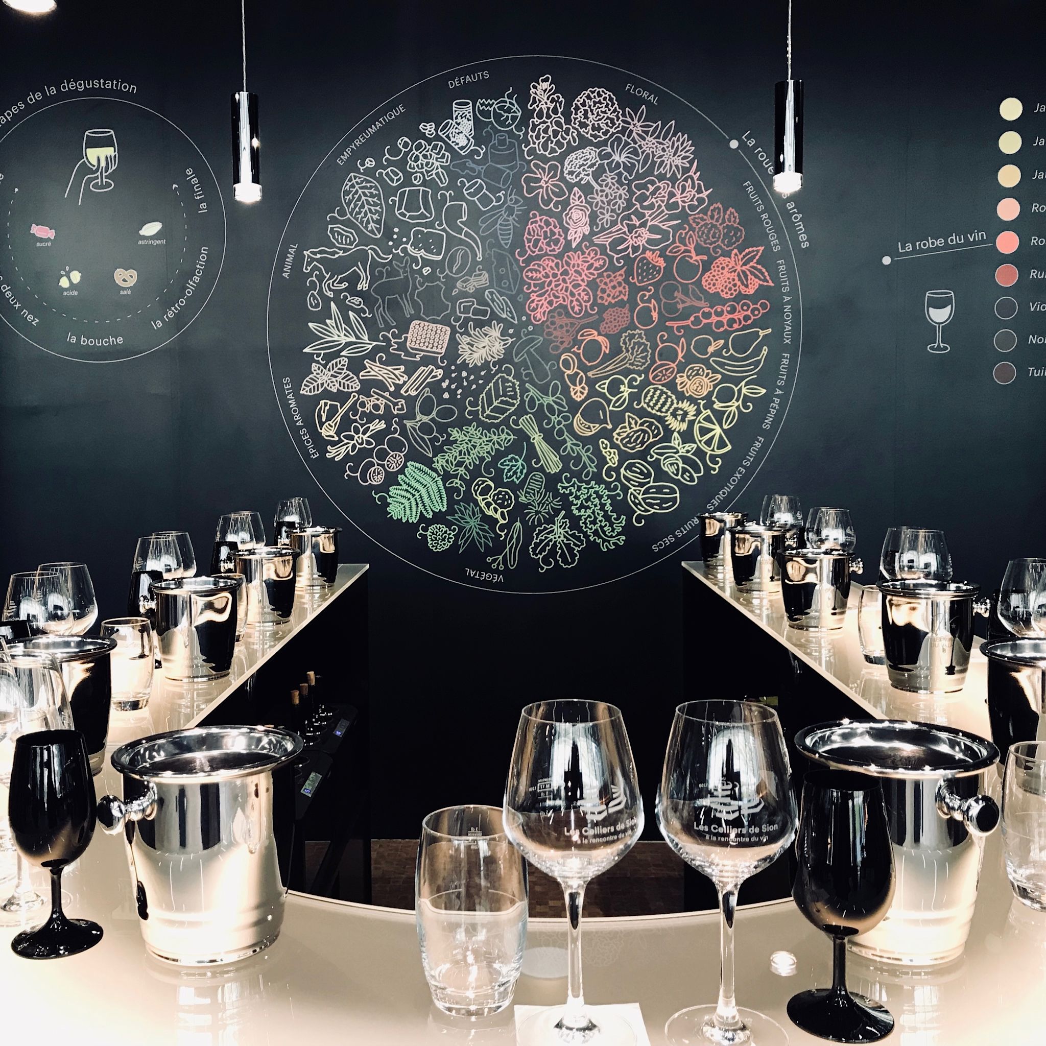
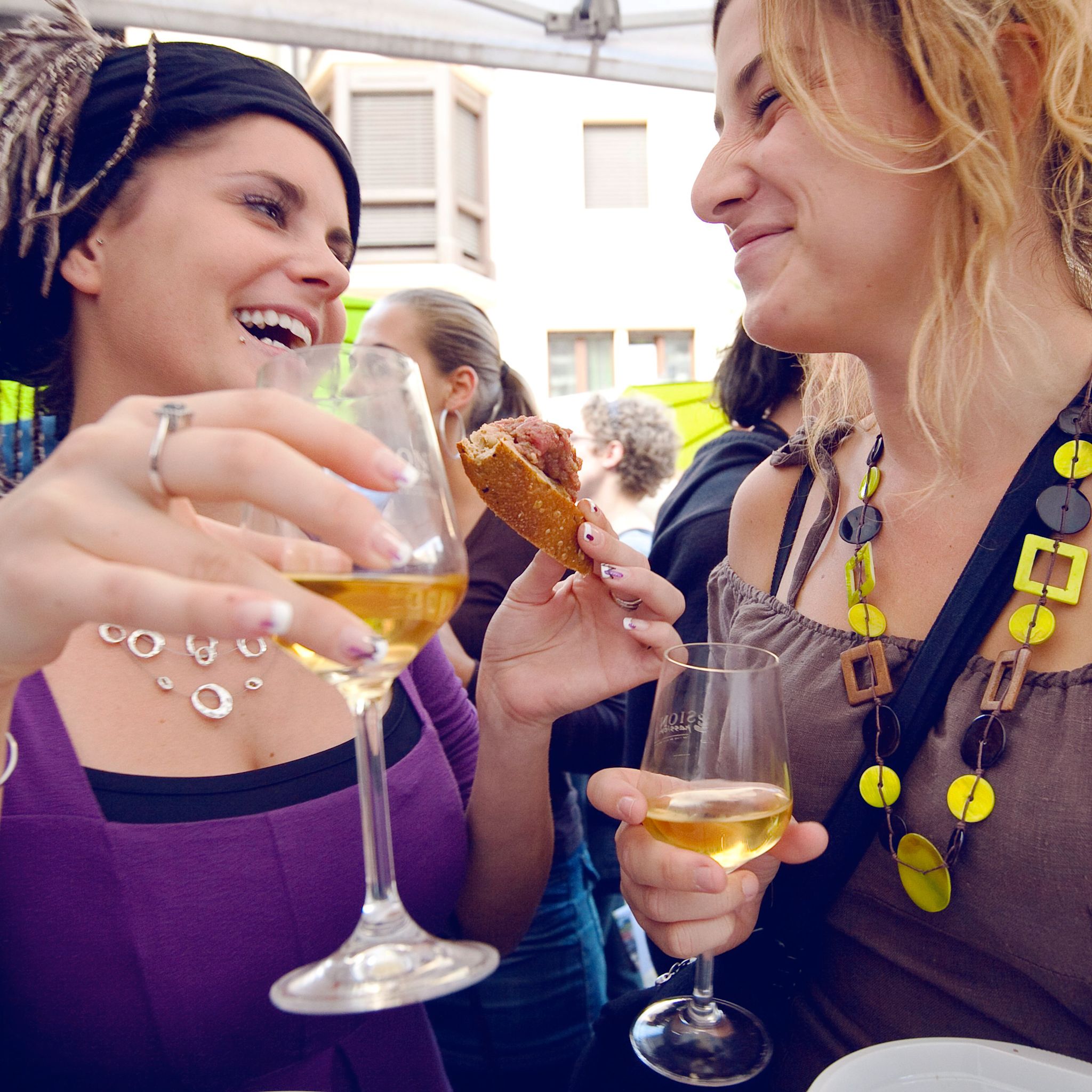
Discover the best of the Valais. With the Valais Connoisseur Package, visit the wine museums of Salgesch and Sierre, take part in a guided tour of Sion, taste local wines and enjoy a Valaisan plate and a raclette.

Voucher for arrival by train

Leave the car at home! Every participant of a walking or cycling tour in Switzerland will receive a promotion code from the SBB which will allow him or her to deduct CHF 10 from the price of the ticket for arriving by train. The discount is available in the online shop, at the ticket office or via the SBB app. For many journeys, we use the luggage counters at the stations at the beginning and end of the journey to collect your luggage. You can easily combine these services when arriving by train. If you do not need the code for the journey itself, you will be able to use it in the course of 2022. Unfortunately, retroactive refunds are not possible for administrative reasons.

Your accommodation in a click

On our e-Shop, you can easily find and book the accommodation of your dreams from a wide selection of offers throughout the canton.

Turn-by-turn directions

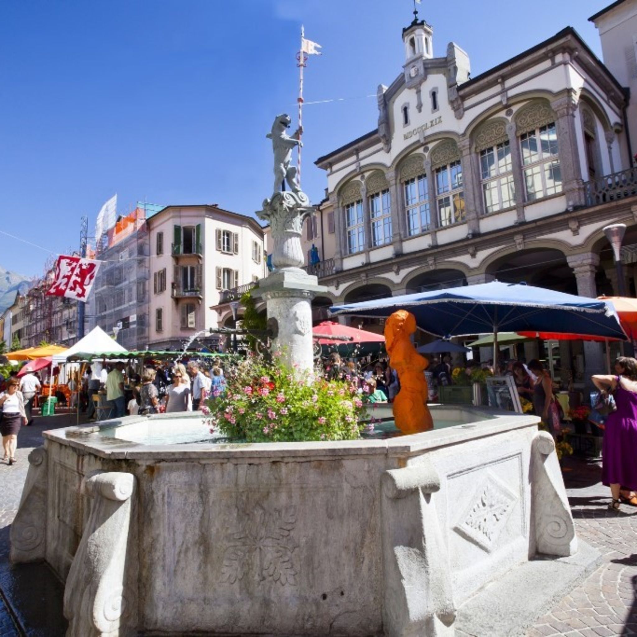
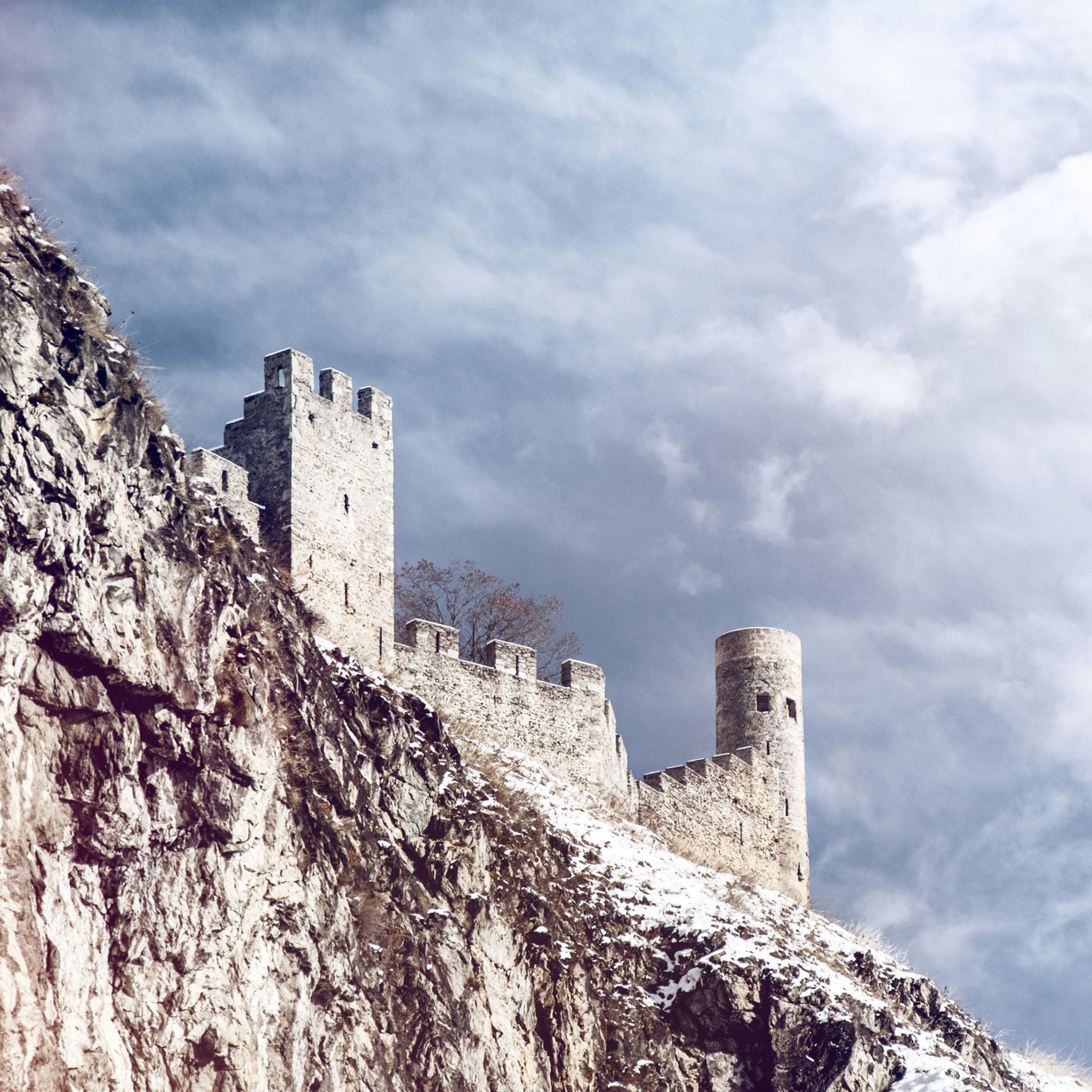
This stage of the walk begins at the northern edge of Sion, at the bus stop “Brasserie”. Alternatively, start at the railway station and walk up through the historical town centre, at the foot of the fortresses of Valère and Tourbillon – a wonderfully atmospheric start to the hike.

The trail proper is clearly marked and easy to follow throughout. To see the underground lake – exclusively on guided visits – detour through the village of St-Léonard.

In the village of Ollon, our route follows an attractive local theme trail for a while: the Chemin des Pressoirs, which showcases the village’s historical grape presses made of granite.

The final stretch of this stage of the Chemin du Vignoble leads near one of the two sites of the Wine Museum of Valais: the 16th-century Château de Villa in Sierre. The castle and its exhibitions are the starting point for the Sentier Viticole that leads – downhill of the Chemin du Vignoble – to the museum’s other site in Salgesch.

Start: Sion (bus stop Brasserie) (562 m)
Destination: Venthône (arrêt de bus Village) (810 m)

Author's recommendation

Time your walk to coincide with the grape harvest in the autumn, when the vineyards burst into life. Timing depends on various factors; check with local tourist offices.

Technical information

  • Altitude

    815 m 505 m

  • Ascent

    492 m

  • Descent

    244 m

  • Technique

    Bewertung: 2 .0 von 5.0 Punkten

  • Stamina

    Bewertung: 3 .0 von 5.0 Punkten

  • Experience

    Bewertung: 6 von 5.0 Punkten

  • Landscape

    Bewertung: 6 .0 von 5.0 Punkten

Public transport

Train to Sion, then change onto bus (direction Anzère or Crans-Montana) for bus stop “Brasserie”. At end of walk in Venthône, take bus from “Village” stop to Sierre station, and continue onward journey by train. Find full timetable information at cff.ch

Approach

A9 motorway, exit 27 (“Sion-Est”). Follow signs for Grimisuat to drive through bypass tunnel. At roundabout at tunnel exit, take left turn; start of walk is a few metres downhill, and car parks are a couple of hundred metres away.

Parking

Public car parks in Sion near “Brasserie” bus stop. Follow the local car park routeing in Sion.

Equipment

We recommend: 

  • good footwear
  • clothing suitable for the weather: always carry a waterproof jacket
  • hat or cap
  • sunscreen
  • bottle for water
  • picnic
  • camera
  • binoculars (optional)
  • hiking poles (optional)
  • printout of this hike (click «Print» icon, to download)  

For certain walks:

  • Swimwear

Safety information

Use of the trails and the information on this website is at hikers’ own risk. Local conditions may entail changes to routes. Valais/Wallis Promotion accepts no liability for the accuracy and completeness of information on this website.


For all hikes:

  • Bring a map. Download full description of this route including large-scale map by clicking on «Print» icon, top right of this page.
  • Use marked trails only, and observe all signposting – for your own safety, to safeguard grazing animals and to avoid disturbing wildlife.
  • Close gates after passing through.
  • Please be considerate to other trail users, and to the plants and animals.
  • Do not leave any waste in nature.

For mountain hikes:

  • Take extra care protecting yourself from the sun at altitude. UV radiation can be exceptionally strong, even in cloudy weather.
  • Plan hike carefully: take into consideration fitness level of each participant, weather forecast and season.
  • Weather conditions can change quickly in the mountains, without warning. Appropriate clothing is therefore essential, along with adequate supplies of food and water. In uncertain weather, turn back in good time.

For high-altitude hikes:

  • Inform others of the route you plan to take. Whenever possible, avoid going alone.
  • Do not venture onto glaciers without a mountain guide.
  • Take note of the warning signs that point out the constant danger in river beds and along watercourses below dams and reservoirs: water levels may rise rapidly without warning.

Additional information

More information about the destination:

Literature

The tourist office in Sion has got brochures and information material about hiking in the region.

Maps

SwissTopo maps 1:25’000: 1306 Sion, 1286 St-Léonard and 1287 Sierre