Mountain bike tours

Activities

Chamossaire Tour

This scenic loop takes in nearby hamlets and farmsteads. A short section leads through Arbaz before a climb back up to Anzère.

  • Difficulty

    medium, S0

    Difficulty : medium
    S0 Even forest or meadow paths, on a natural surface with good grip or on compact gravel. No steps, rocks or passages with many roots. Gentle gradients, wide curves. No special technique required
  • Length

    13.4 km

  • Duration

    2:05 h

  • Show on map

Starting in Anzère, the Chamossaire Tour passes through the Gô pastures before leading into the valley of the Combe d’Arbaz, study site in winter for Switzerland’s national Institute for Snow and Avalanche Research (SLF). The descent continues along an unsurfaced road towards Arbaz. The climb back up to Anzère leads through the district of Chamossaire, which bears the name of a famous local summit.

Available offers

Your accommodation in a click

On our e-Shop, you can easily find and book the accommodation of your dreams from a wide selection of offers throughout the canton.

Turn-by-turn directions

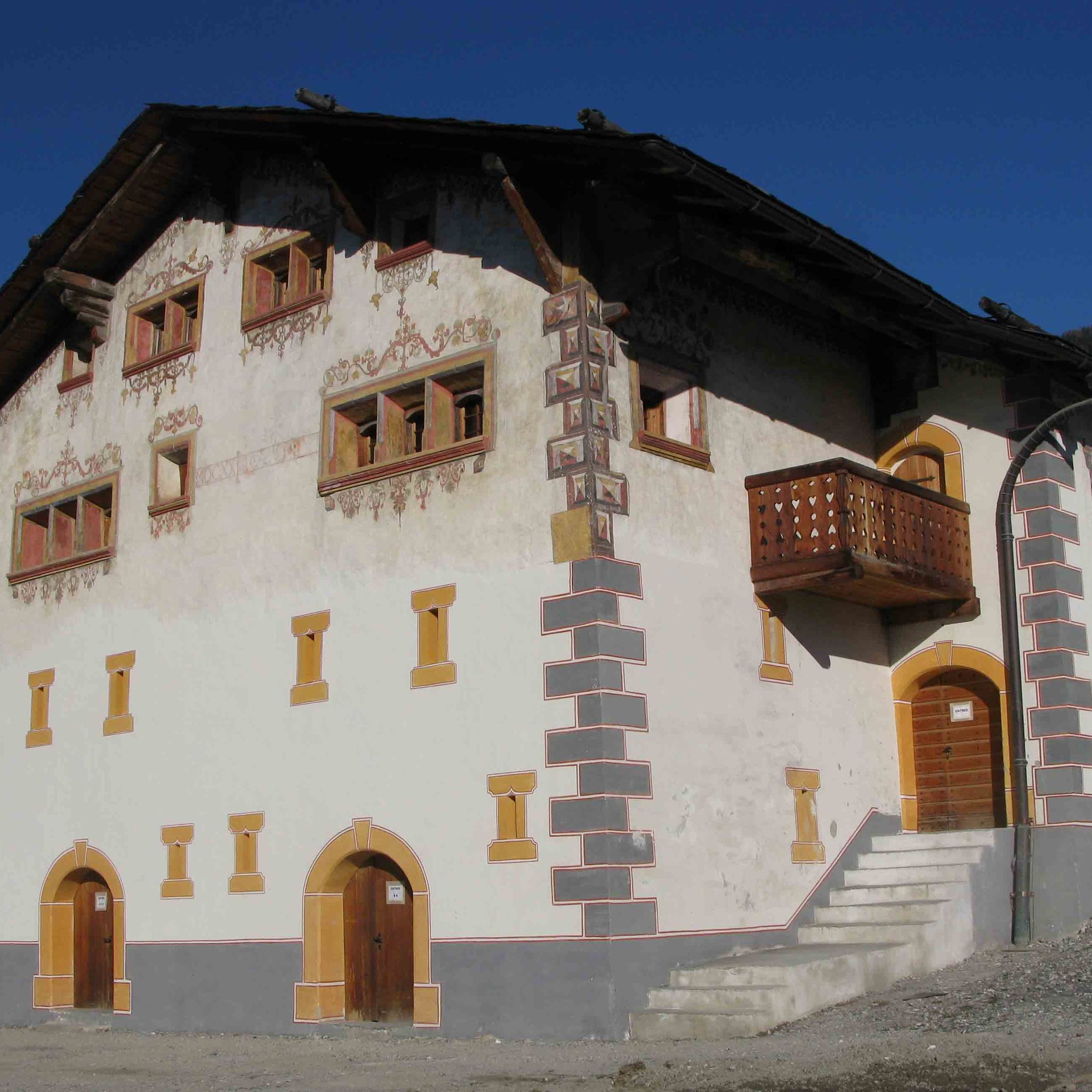
From the resort of Anzère, set off for the Gô pastures, where you can see some magnificent and authentic old farm buildings. You then begin the descent to Arbaz by heading into the valley of the Combe d’Arbaz along an unsurfaced road. Along the way, you may spot the bunker where Switzerland’s national Institute for Snow and Avalanche Research (SLF) monitors and studies avalanches. The descent finishes where the lane meets the main road up from the valley. Here, you make for one of the region’s historical irrigation channels, the Bisse d’Ayent. Since the path along the channel is very popular, take the forest track that will lead you to the bottom of the resort. To complete your ride, climb back up to the starting point via the districts of Chamossaire, Pralan and Les Audannes.

Start: Anzère (1515 m)
Destination: Anzère (1515 m)

Author's recommendation

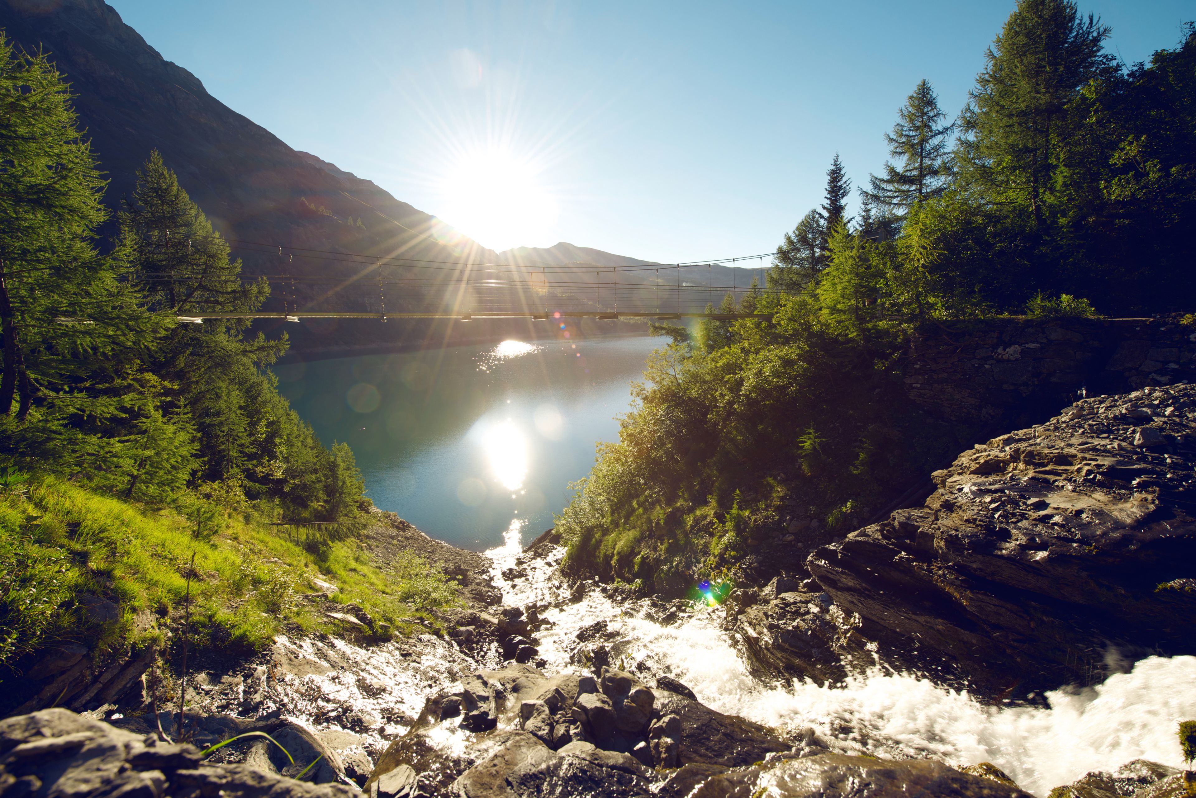
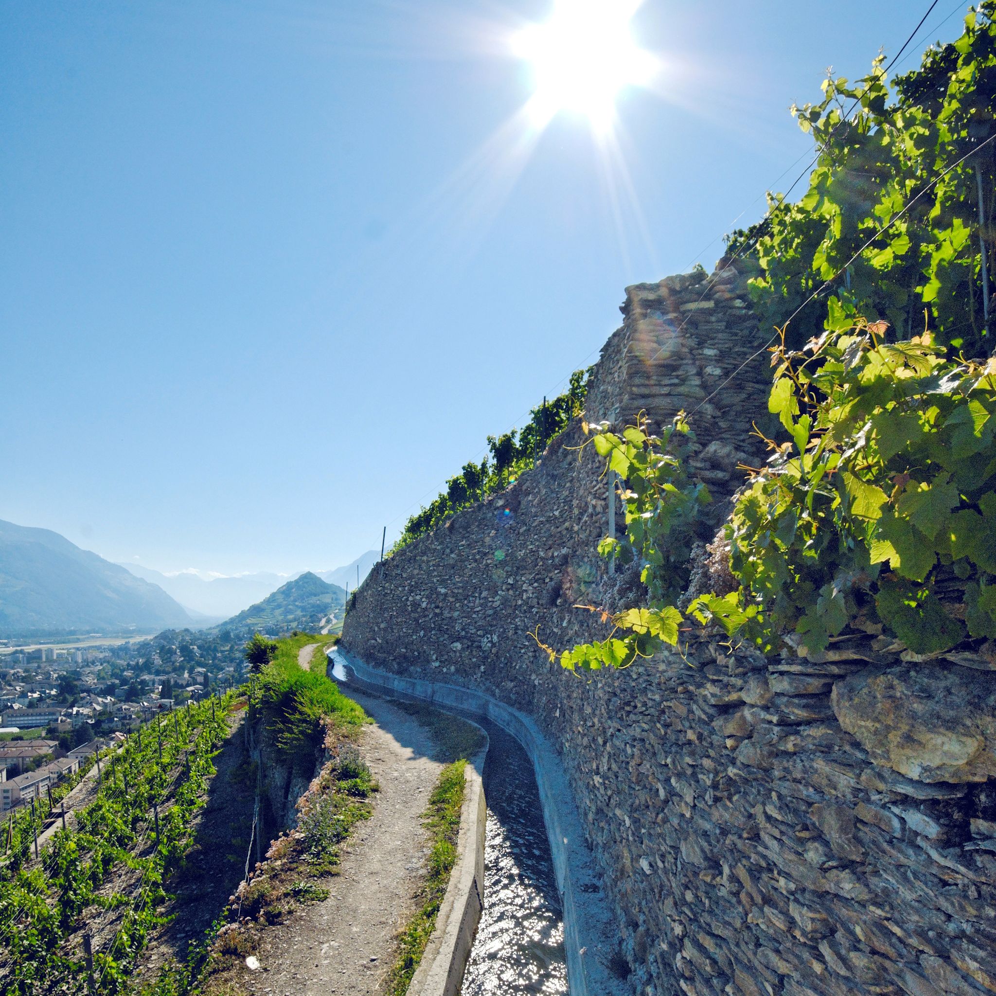
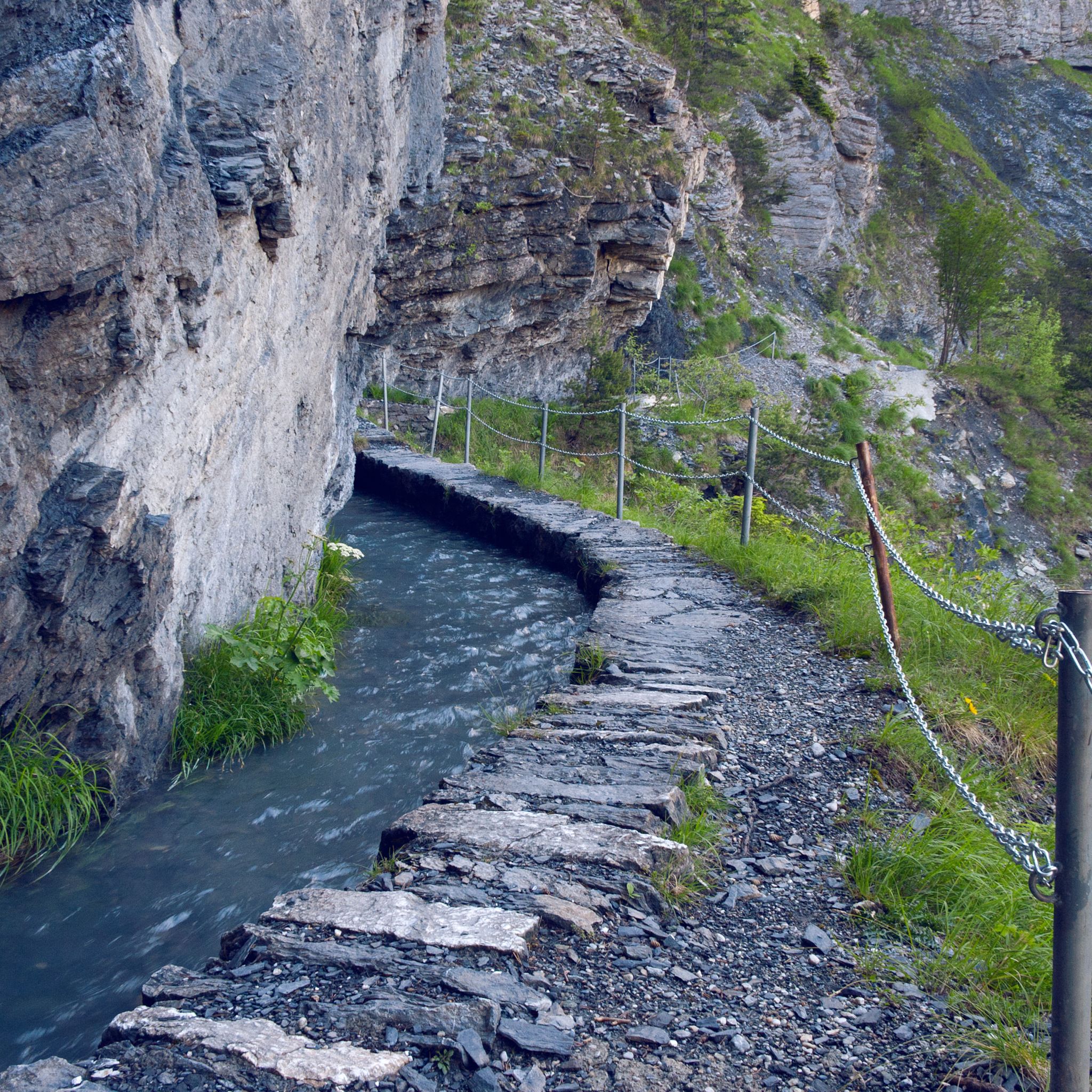
When you reach the Bisse d’Ayent, take a break from riding to stroll along the historical irrigation channel, which carries water from early June to October.

Technical information

  • Altitude

    1597 m 1281 m

  • Ascent

    319 m

  • Descent

    319 m

  • Technique

    Bewertung: 2 .0 von 5.0 Punkten

  • Stamina

    Bewertung: 3 .0 von 5.0 Punkten

  • Experience

    Bewertung: 5 von 5.0 Punkten

  • Landscape

    Bewertung: 5 .0 von 5.0 Punkten

Public transport

PostBus from Sion to Anzère.

Approach

A9 motorway to Sion Est (exit 27), then follow signs for Ayent/Anzère.

Parking

Parking available at various locations in the resort of Anzère.

Equipment

We recommend: bike in excellent working order, helmet, gloves and bell, clothing suitable for the weather (always carry a waterproof), food and drink.

Safety information

Use marked bike trails and routes only, and observe all signposting. Please close gates after passing through. Please be considerate to walkers and to plants and animals. As a rule, walkers have priority. When planning, take into account participants’ fitness level and ability. All riding is at one’s own risk.

Additional information

More information

Anzère

Literature

The tourist office in Anzère has got brochures and information material about mountain biking in the region.

Maps

SwissTopo Maps 1:25'000: 1286 St-Léonard