Hikes

Hikes

Tour of the Val d’Anniviers: Grimentz – Vercorin (stage 4)

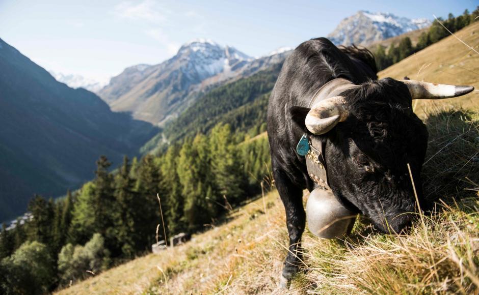
Panoramic trail on the western slopes overlooking the Val d’Anniviers, linking two of the valley’s most delightful villages: picturesque Grimentz and arty Vercorin.

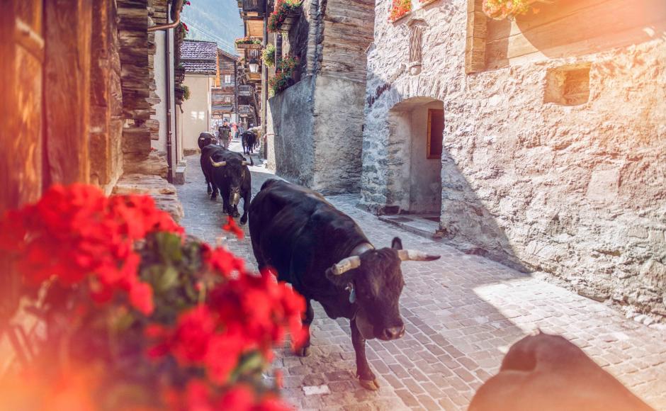
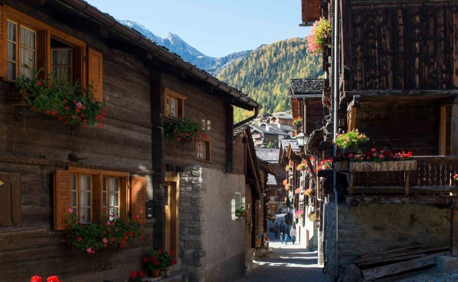
The diversity of the Val d'Anniviers is highlighted by two villages and the high mountain path that links them. Overlooked by the highest peaks in the Valais, Grimentz stands out with its wooden houses festooned with flowers. Vercorin, on the other hand, lies on a sunny plateau overlooking the Rhone Valley. The panorama trail between the two towns runs along the western slopes of the Val d'Anniviers. Apart from a steep climb at the start and the descent to the finish, it follows a high-altitude route, from which spectacular views can be enjoyed. While Grimentz has trails devoted to everything from geraniums to local legends, Vercorin has a handful of art galleries and museums, including one dedicated to the painter Édouard Vallet, who lived in the village for many years. Events are held here every year, including R&Art (contemporary art installations) and Vercojazz.

Available offers

Your accommodation in a click

On our e-Shop, you can easily find and book the accommodation of your dreams from a wide selection of offers throughout the canton.

Turn-by-turn directions

The full route links the two resorts, beginning with a steep climb and finishing with a long descent. Shorter alternatives are possible by making use of the gondolas at either end of the hike. 

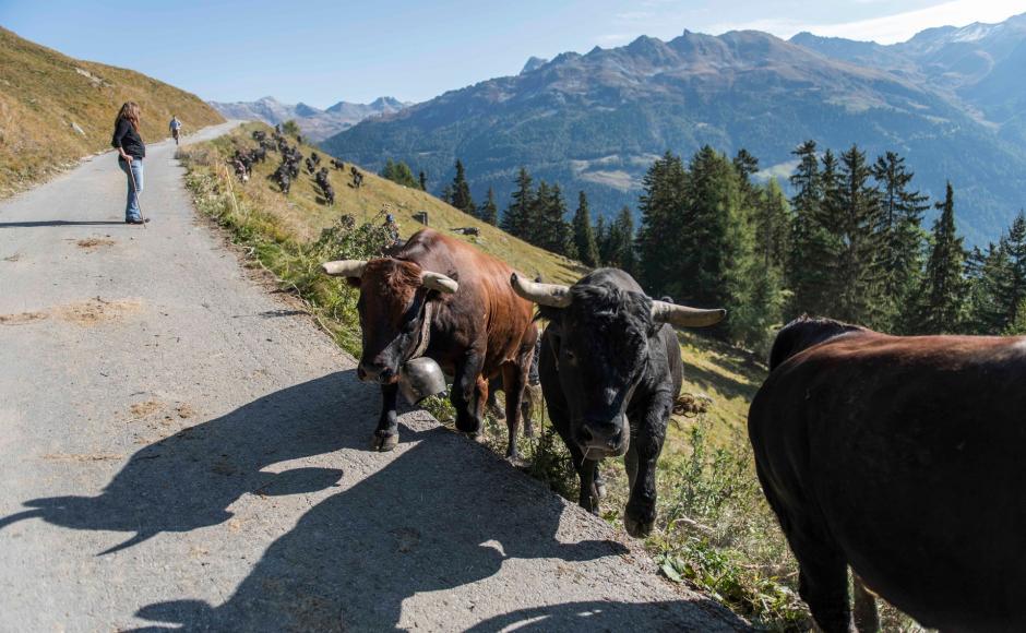
For the full hike, start at the gondola station in Grimentz. The trail initially follows the route of the gondola, but about half-way up begins zig-zagging away to the right and eventually joins a track that leads northwards to the alpine pastures.

A long traverse of the high mountainsides leads to the pastures of Orzival (2,100 m) and then Tracuit (1,898 m). The path continues to Sigeroulaz – the middle station of the gondola from Vercorin to Crêt du Midi – before dropping steeply down to Vercorin itself.

For an easier start to the hike, take the gondola from Grimentz to Bendolla, and traverse the high slopes to join the route near Chiesso Blanc. To skip the final steep descent, take the gondola from Sigeroulaz down to Vercorin.

Start: Grimentz (1588 m)
Destination: Vercorin (1313 m)

Author's recommendation

The Anniviers Liberté/Freedom pass ensures a 50% reduction on the funicular railway, while travel by PostBus and certain activities are free.


Technical information

  • Altitude

    2139 m 1313 m

  • Ascent

    585 m

  • Descent

    860 m

  • Technique

    Bewertung: 3 .0 von 5.0 Punkten

  • Stamina

    Bewertung: 4 .0 von 5.0 Punkten

  • Experience

    Bewertung: 5 von 5.0 Punkten

  • Landscape

    Bewertung: 5 .0 von 5.0 Punkten

Public transport

Train to Sierre, then postal bus to Grimentz (change at Vissoie). At end of walk, bus from Vercorin to Sierre; alternatively, cable car from Vercorin to Chalais, and onward by bus to Sierre. Find full timetable information at sbb.ch.

Approach

A9 motorway, exit 29 (Sierre-Est), follow signs for Val d’Anniviers.

Parking

Park at Vissoie, Grimentz or Vercorin, and make use of Postbuses to reach the start of the walk and/or return from the finish. Bus journeys between Grimentz and Vercorin require a change in Vissoie.

Equipment

We recommend: 

  • good footwear
  • clothing suitable for the weather: always carry a waterproof jacket
  • hat or cap
  • sunscreen
  • bottle for water
  • picnic
  • camera
  • binoculars (optional)
  • hiking poles (optional)
  • printout of this hike (click «Print» icon, to download)  

For certain walks:

  • Swimwear

Safety information

Use of the trails and the information on this website is at hikers’ own risk. Local conditions may entail changes to routes. Valais/Wallis Promotion accepts no liability for the accuracy and completeness of information on this website.

For all hikes:

  • Bring a map. Download full description of this route including large-scale map by clicking on «Print» icon, top right of this page.
  • Use marked trails only, and observe all signposting – for your own safety, to safeguard grazing animals and to avoid disturbing wildlife.
  • Close gates after passing through.
  • Please be considerate to other trail users, and to the plants and animals.
  • Do not leave any waste in nature.

For mountain hikes:

  • Take extra care protecting yourself from the sun at altitude. UV radiation can be exceptionally strong, even in cloudy weather.
  • Plan hike carefully: take into consideration fitness level of each participant, weather forecast and season.
  • Weather conditions can change quickly in the mountains, without warning. Appropriate clothing is therefore essential, along with adequate supplies of food and water. In uncertain weather, turn back in good time.

For high-altitude hikes:

  • Inform others of the route you plan to take. Whenever possible, avoid going alone.
  • Do not venture onto glaciers without a mountain guide.
  • Take note of the warning signs that point out the constant danger in river beds and along watercourses below dams and reservoirs: water levels may rise rapidly without warning.

Additional information

More information about the destinations: 

Literature

The tourist offices in Val d'Anniviers have got brochures and information material about hiking in the region.

Maps

SwissTopo maps 1:25’000: 1307 Vissoie / 1287 Sierre